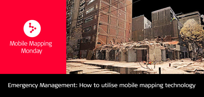
In the magnitude 7.1 earthquake that struck central Mexico in September 2017, hundreds perished, multiple buildings collapsed, and infrastructure was severely damaged, including destroying bridges and roads.
To aid in recovery, national and local emergency management authorities asked Mexico City-based Leica Geosystems staff to mobilise with multiple reality capture technologies to safely document the damage using remote sensing.
As the professionals worked to capture and assess one of the most destructive natural events in the country’s history, they kept their fellow citizens, affected by the tragedy in their thoughts. The project was one of local endearment and professional duty.
Technology’s role in emergency management
The Leica Pegasus:Backpack and ScanStation P40 were deployed to capture every collapsed building possible to document the damages and capture up-to-date maps, photos and plans of existing buildings and infrastructure using lidar and imagery.
The Pegasus Backpack proved valuable as it could quickly, safely and easily document areas otherwise inaccessible to rescuers. Critical data was captured before debris and ruble were removed – creating a permanent record in the form of ArcGIS-compatible point clouds and panoramic images.

Leica Pegasus:Viewer panoramic imagery on the left image, point cloud imagery on the right image

Point Cloud of collapsed buildings

Point cloud of collapsed buildings

Scanning collapsed buildings
This data is now being accessed on-line, by Mexico’s disaster management agency through the Leica Geosystems web viewing service which allows users to display and navigate through the processed images and point clouds.
“With the Leica Pegasus:Backpack georeferenced information, we know exactly where every door, alley and window is located. I can now give my crew accurate instructions on where to go and what to expect before they get there. Without the data, disaster management was a complicated process,” said Dr. Armando Aguilar, President of the Comisión de Seguridad e Higiene y Protección Civil.

Frank Collazo
MED (Mobile 3D) Reality Capture Consultant at Leica Geosystems AG


