


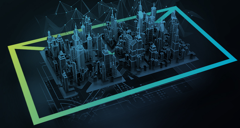
Ensuring no data is missed – The 3 Fundamentals of Terrestrial Laser Scanning
Terrestrial laser scanning is the process of collecting and analysing a real-world physical space even in places that are hard…
Terrestrial laser scanning is the process of collecting and analysing a real-world physical space even in places that are hard…

Surveying service providers are increasingly adding 3D laser scanning and other reality capture equipment to their technology toolbox, and for good reason. Laser scanners capture comprehensive…

Leica Geosystems has a great Laser Scanning/HDS sub-track at HxGN LIVE this year that you won’t want to miss. Be prepared…

2016 was a great year for advancements in the terrestrial laser scanning space where Leica Geosystems delivered some amazing features…

Why is laser scanning becoming increasingly popular? I’ve noticed how laser scanning is reaching even more markets than it currently…

Get in contact with us for more information about our laser scanning portfolio.

Find all laser scanning webinar content in one place – watch all webinars on-demand now!
Click here to subscribe to our regular newsletter and stay up-to-date on all the latest reality capture news.