59 per cent of the Netherland’s territory is vulnerable to floods and 26 per cent is below sea level. For this Western European country, preventing and protecting against sea water level rise is of vital importance. Due to its low and flat geography, the country contains a large extension of dikes – 17,691 kilometres to be precise.
Dikes in the country are managed by waterboards. The area in the middle of the Netherlands with the Maas, Waal and Nederrijn rivers is beautiful yet vulnerable – due to climate change the sea level is rising causing rivers to flood. To ensure citizens are safe, dikes in this area are checked every two years and completely surveyed every six years to make sure they stay high and firm enough.
Kempkes Landmeten, a company specialised in translating data within the broad spectrum of geodesy, surveyed 19 kilometres of dike along the Waal river, in the area of Waterboard Rivierenland. To give an idea of scale, this is 10% of the width of the Netherlands. In the past, dikes were surveyed with traditional survey methods involving a great deal of levelling.
Choosing next-generation mobile mapping
Kempkes Landmeten discussed with Waterboard Rivierenland a new method to survey the safety of the dike. They proposed to use next-generation mobile mapping technology, the Leica Pegasus:Two Mobile Sensor Platform, to deliver the task with the quality requested.

A traditional survey of the whole area would have taken months to complete – the first part of 19-kilometre trajectory was done in two days with the mobile mapping solution mounted on a normal car, scanning from the road. Using the Pegasus:Two on different vehicles to survey off-road, the whole project was then scanned in only a few days. This included:
- A double run
- Processing the mobile mapping data and,
- Generating the results
The traditional surveyor now only had to capture point clouds and “holes” in the data that could not be captured via mobile mapping.
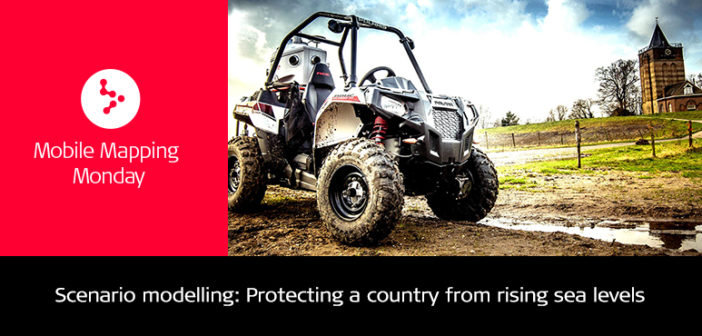
For this project the flexibility of the Pegasus:Two was used to the max. The compact mobile mapping solution was used on a car and quad to reach off-road locations where a normal car would get stuck.
“The Leica Pegasus:Two can be mounted on a car, boat or almost any other vehicle. The system does not have to be re-calibrated when moving from vehicle and in this way we can flexibly and easily capture the reality within millimetre range,” said Rob Kempkes, owner of Kempkes Landmeten. “Because the survey is quicker, and no safety measures have to be taken, considerable costs can be saved.”
From data to a Digital Terrain Model
With the Pegasus:Two hundreds of gigabytes containing point cloud data and photos were acquired for this project. The data was processed with Leica Pegasus:AutoP software, checked on quality via a multi-pass. This means the trajectory is mapped twice with the Pegasus:Two mounted on a car with opposite scanner rotation. This double-run gives a check on position quality, and reduces blind spots and unwanted traffic in the data. The resulting coloured point cloud is related to 50 ground control points and natural benchmark points.

The few parts that were not covered by the scan, such as the back of buildings, or objects like drains, were surveyed with traditional methods using Leica Total Stations and GNSS receivers. Metadata of objects like numbers on light poles were gathered if not visible on the photos from the Pegasus:Two.
The postprocessed data, combined with traditional surveys was then used to generate the end product for the customer – a complete 3D Digital Terrain Model with GIS metadata.

Besides the end result that was mandatory for the assignment, Waterboard Rivierenland is now also able to use all extra gathered data, like the 360-degrees sphere photos collected with the Pegasus:Two. Thanks to the amazing source of extra information, there is no need to go outside. Where in the past the surveyor had to go back into the field, an extra cross profile can be easily generated on a location. This is quicker, safer and a perfect basis to make easier and better-informed decisions in daily processes.
Using the Pegasus:Two has proven to be more flexible, safe, faster and scalable giving Kempkes Landmeten a key advantage over the competition on this and other projects.


