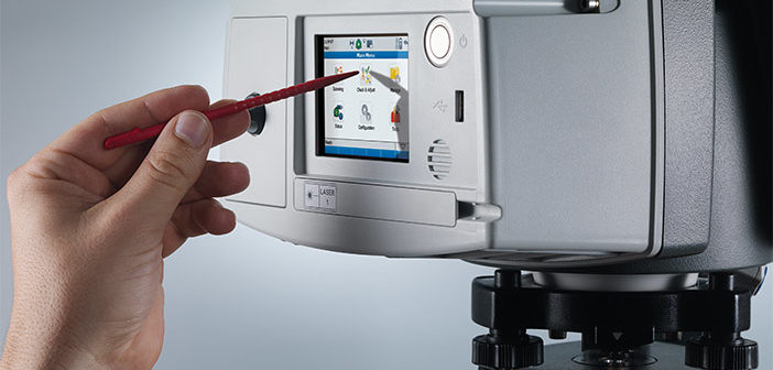
A Leica Geosystems ScanStation will prompt the user to approximately level the scanner when collecting data in order to activate the tilt compensator. While this only takes some seconds, it is only fair to ask what is this tilt compensator, and why should I bother with this extra step?
This paper explains what a ScanStation tilt compensation is and some of the practical realities of collecting data in the field that motivate the use of a tilt compensator while scanning.
Download the white paper here:
White paper Leica ScanStation Tilt Compensator
Also have a look at the accompanying video interviewing Juergen Mayer, Business Direct HDS™ at Leica Geosystems :
Enjoy!


