


Building or managing infrastructure is a complex and challenging task for all the parties concerned. Given the geographical span and nature of these projects, carrying out improvements to the existing infrastructure and constructing new one within the stipulated budget and time-frame while ensuring workers’ safety is a noteworthy achievement. These projects are typically characterised by cost over-runs and minimising costs holds a key to the successful completion of these projects. Laser scanning has been a blessing for all the stakeholders in the AEC industry. Point cloud data generated by high-definition laser scanners delineate as-built conditions precisely and with lesser efforts.
Tesla Outsourcing Services, a CAD and BIM Company in India offering BIM Services, Point Cloud Modeling Services, Architectural Visualisation and CAD Services, works with point cloud data from several clients across the world generating BIM models for further processing. Many of their clients use the Leica BLK360 to create precise scans in adverse conditions. Such is the case of one of Tesla Outsourcing Services’ client who recently captured a 100-kilomentre road network in California, USA, which had several lanes and bridges across the span. With a project of this magnitude the company was on a look-out for a scanner that could offset these challenges – the company eventually zeroed on the BLK360, the smallest and lightest imaging scanner. But, what was the reasoning behind choosing this technology?
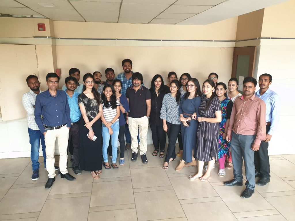
Tesla Outsourcing services team in Gujarat, India
Below are 7 key questions to help you choose a laser scanning solution that will help you overcome the challenges posed by adverse scanning conditions.
What level of flexibility would you need?
Tesla Outsourcing Services’ client obtained a project of building, operating, and improving a with 100-km road network. With several lanes, ancillary structures, and bridges to maintain and operate, Tesla Outsourcing Services’ client needed a flexible solution to create accurate 3D point cloud and images of the road network without disrupting traffic nor exposing surveyors.
How will the technology improve your workflow at operations?
The detailed scope of the project was to evaluate the existing network and carry out repair works or erecting new structure wherever deemed fit. This required several existing condition details, such as identifying exact areas with exposed reinforcement and concrete delamination. The team needed a solution to survey the bridges, create reference models and exact 3D scans to support remedial work and regular safety inspections, all features provided by the BLK360.
What challenging conditions are you going to face?
Closing the road for scanning was not possible as road closure was a costly affair would have also involved a lot of effort in terms of planning and scheduling. Hence, it was decided to carry out the survey while the network was fully functional.
What are the risks involved and how you can avoid them?
Scanning the infrastructure with fully-functional roads is a very adverse and risky situation. Deploying a team of surveyors in the middle of the road to capture the minute details of the underside of the bridges puts them at very high risk. With a 1-kilograme lightweight and portable imaging laser scanner, the surveying team could safely stand behind the safety barrier to capture the difficult areas (such as the underside of the bridges) creating a detailed 3600 image and precise point clouds within a couple of minutes.
What is the distance range that you need to cover?
With a measuring radius of 60 metres, the BLK360 allowed the team to capture the surroundings and examine areas in detail.
What are the deliverables you need and what type of training will your team need to produce them?
At the single push of a button, a single user created full-colour panoramic images overlaid on a precise point cloud data of all the components of the infrastructure network. By employing Autodesk ReCap Pro mobile-device app to stream point cloud data and images to an iPad, the team created RCP files for further processing and creating meaningful deliverables. These RCP files were then provided to Tesla for point cloud to BIM conversion. The BIM model generated was eventually used in upgrading and maintaining the network.
For more questions, you could ask yourself before purchasing a laser scanner read: “Before you buy: Seven critical questions to ask about laser scanners.”
Learn more about the BLK360 here.
Learn more about Tesla Outsourcing Services here.

By Divya Dave
Sr. Manager of Engg.Operations at Tesla Outsourcing Services
www.teslaoutsourcingservices.com