


Imagine you have a historical recording of a great concert from 1938 – on a vinyl record – but only a CD player to play it back. Unfortunately, the recording would be worthless – lost forever without the appropriate playback device.
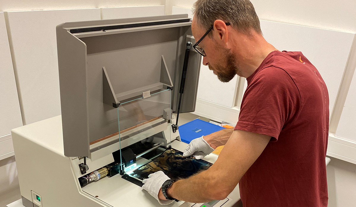
It is similar with early recordings of our climate. Analog recordings from the early years of the last century cannot be read with today’s digital devices. Significant changes in the climate could no longer be represented this way and important historical recordings would be useless. The Norwegian Polar Institute was facing this problem. Without a suitable reading device, the polar explorers risked losing important aerial photographs from the 1930s. This means that climate changes over the past 90 years would no longer be detectable. To prevent this, Leica Geosystems donated a PhotoScan film scanner with a scan resolution of up 7 microns to the Polar Institute, which can be used now and in future to evaluate the historical recordings.
One of the most important tasks of the institute is to preserve historical archive recordings. The results of the evaluation of this data can be seen in its online web service.
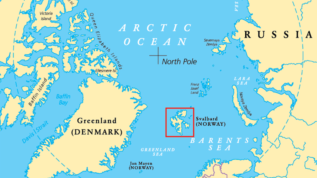
Fig. 1 Spitsbergen
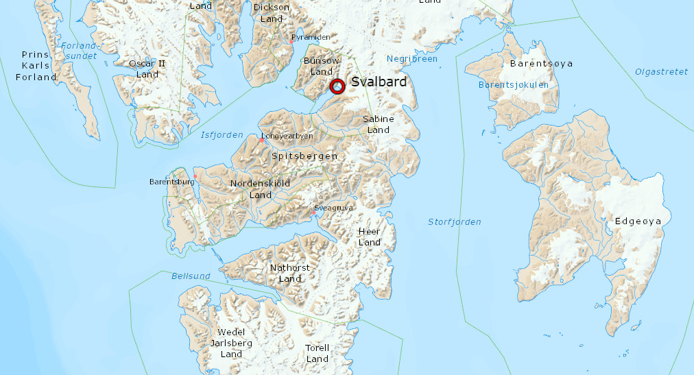
Fig. 2: Spitsbergen, Svalbard Glacier (see Fig. 3)
With this data, the institute’s researchers have started a project to visualise the mass changes of glaciers on Svalbard.
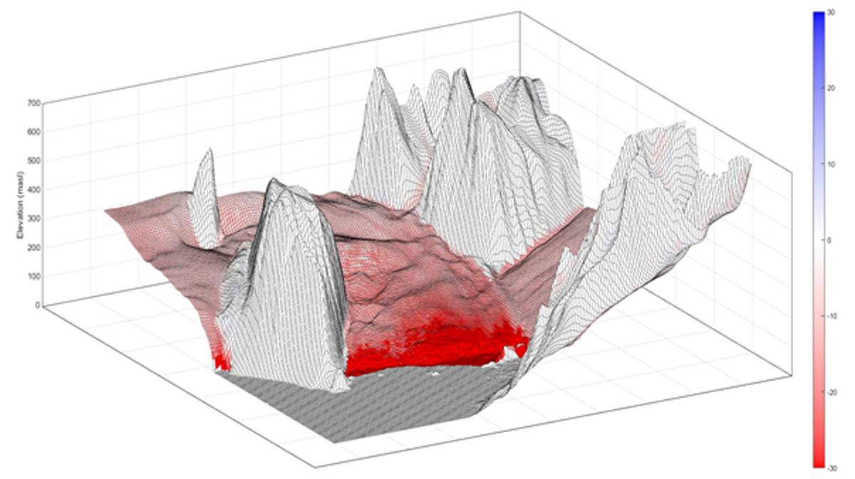
Fig 3. Svalbard Glacier
In figure 3, the digital elevation models (DEM) derived from two sets of aerial images from the Svalbard Glacier are superimposed. One set is from 2011, the other one from 2015. The scale on the left shows the height and the colour scale on the right shows the height differences between the two recordings. Deep red means that the glacier has lost up to 30 m of its thickness. Blue regions would mean the glacier was growing. As visible in the graph, there is no recorded growth. The melting of the glacier occurs, particularly at lower altitudes.
Some of the most important photographs in the institute’s archive are oblique aerial photographs from 1936 and 1938, as well as a series of nadir photographs from 1990. These two series show a very large part of the archipelago and are therefore of particular importance.
“The scanner is very important to us because it will provide an aerial photo archive for further analysis in the future. In addition to glacier research, it will be possible to research changes in coastlines, vegetation and differences in infrastructure such as houses and streets. We would therefore like to thank Leica Geosystems for their kind support,” said Harald Faste Aas, lead researcher at the Polar Institute

Wolfgang Hesse is the strategic marketing manager for the Geospatial Content Solutions, Hexagon’s Geosystems division.