


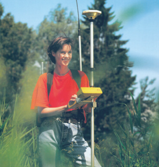
In 1995, a new GPS system (GPS system 300) enabled high-precision navigation with real-time surveying, allowing one to receive precise coordinates while still in the field.
In 1995, a new GPS system (GPS system 300) enabled high-precision navigation with real-time surveying, allowing one to receive precise coordinates while still in the field.