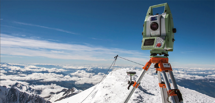
Reaching the top of Mont Blanc, Europe’s highest peak, is a formidable challenge even to the most experienced alpinists – not only because of its elevation, but also because of its weather conditions. Strong winds and snowfall at the summit constantly cause altitude and volume fluctuations to the mountain’s ice cap. This motivated a team of expert surveyors to take on the mountain’s challenge and every two years, determine the actual variations of the ice cap using the latest in measurement technology. This year the team consisting of two surveyors from Leica Geosystems France and the Chartered Land Surveyors, based in France’s Upper Savoy region, decided to make the first ever 3D laser scan of the shape and volume of this legendary glacier using the Leica Nova MS50 MultiStation.
Read the full TruStory here and get deeper insights with this video:


