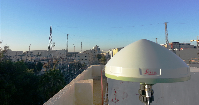
IDECO is an electricity provider supplying power to four concession areas in the northern region of the Hashemite Kingdom of Jordan. The goal for the GIS department at IDECO was to capture, collect and record accurate position and GIS attribute information, including images, of all overhead and underground low voltage and medium voltage assets. In order to better manage its vast network, IDECO chose Leica Zeno GIS data loggers to collect all asset information, feeding it seamlessly into their existing Esri ArcGIS database.
Read the Leica Geosystems TruStory here


