Unifying multi-sensor workflows with Leica HxMap
This blog post comes from the webinar HxMap – Unified Processing of Airborne Imagery & LiDAR. Watch the webinar here.…

This blog post comes from the webinar HxMap – Unified Processing of Airborne Imagery & LiDAR. Watch the webinar here.…

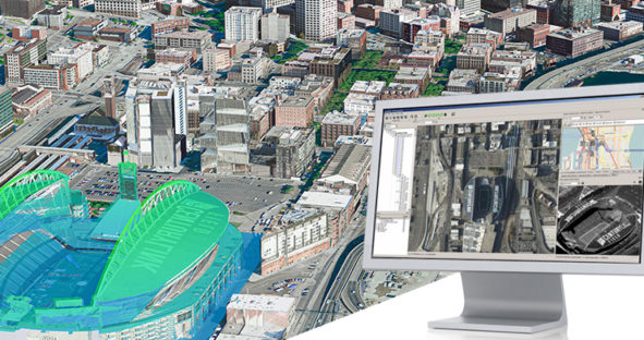
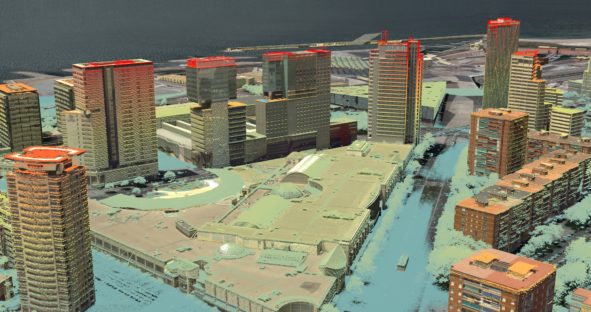
A 3D city model enables city councils and urban planners to go beyond traditional city development and share their vision…