The Airborne User Group Meeting (UGM) was held from 22 to 24 February 2017 in Dublin, Ireland, and hosted by valued customer Ordnance Survey Ireland. The event took place in the iconic Dublin Castle, one of Ireland’s major historic sites. From the founding of the first Celtic settlement to every Presidential inauguration since, the site has stood witness to some of the most pivotal events in the country’s history.
 During the event, participants had the opportunity to watch a live demo of the Leica Pegasus:Backpack capturing data of Dublin Castle.
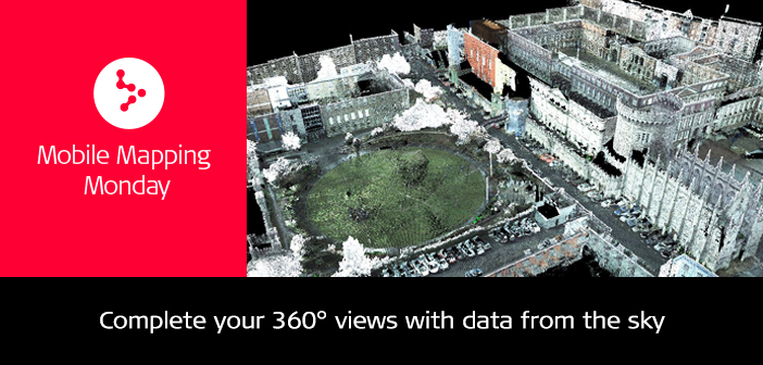
The purpose of the project was to present how the Pegasus:Backpack data can be combined with data captured from the air, in this case with a point cloud derived from airborne imaging data provided by the host. Merging the mobile mapping and airborne data sets closes the gaps on the roofs and enriches the airborne data with high-density point clouds of buildings and streets, providing a complete 360° view from earth to sky. Juan Madronal, technical support specialist at Leica Geosystems, was responsible for the demo.
The Pegasus:Backpack mobile mapping solution is completely portable and designed for rapid and regular reality capture. Juan was able to capture the entire dataset in 30 minutes of walking time, thanks to the solution’s highly ergonomic design. In addition, the sensor platform combines five high-dynamic cameras, two LiDAR profilers, IMU and GNSS antenna within an ultra-light carbon fibre chassis (12 Kg) that made the data collection easy, trustworthy and professional.
All the data was captured in a single scan and projected straight away into ITM15 coordinate system, avoiding long and complex registrations and cutting drastically time and costs. The Pegasus:Backpack data process and merge with the airborne data was accomplished in approximately one hour.

Pegasus:Backpack point cloud of Dublin Castle capture in 30 min
Juan was able to form these data into geospatial mapping deliverables such as georeferenced imagery from each of the 5 cameras, a panoramic imagery 200×360 degrees and georeferenced point cloud.

Indoor and outdoor capture of Dublin Castle using SLAM technology
The LiDAR data generated by the Pegasus:Backpack can be colourised with the intensity recorded from the laser scanner or by using the georeferenced imagery to get an RGB colourised point cloud. Furthermore and based on specific project needs, the imagery can be used as well to extract coordinates and to take measurements using photogrammetric techniques.
This mobile mapping solution creates a 3D view indoors or outdoors for engineering or professional documentation at the highest level of authority while using SLAM (simultaneous localisation and mapping) to determine position in GNSS-denied areas. The Leica Pegasus:Backpack ensures that today’s professionals are not limited in how, where or when they collect their data.

Merged point clouds derived from airborne imaging(blue and green) and mobile mapping(red) data


