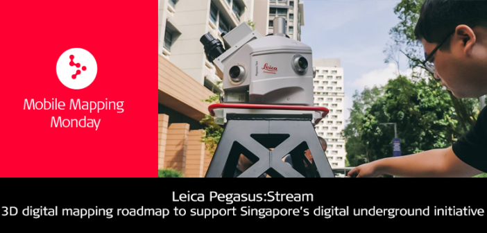
In land-scarce Singapore, not only is there a need to optimise the use of limited surface land, but the optimal use of underground spaces should also be accurately planned for. To understand the complex components and utility networks under Singapore, city planners need accurate 3D digital roadmaps.
This digital underground project by the Singapore-ETH Centre and Singapore Land Authority used the Leica Pegasus:Stream to capture infrastructure data above and below ground. The roadmap will lead to guidelines on how to acquire data of existing as well as new utility networks, and the maintenance of a permanent digital record of the precise location of the underground infrastructure.


