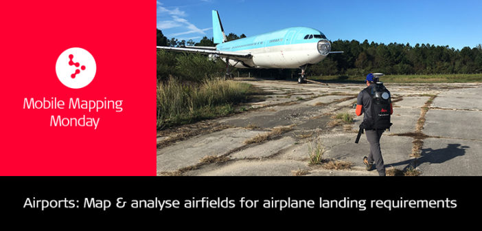
A few weeks ago, during an airfield demo, my colleagues Tony Grissim, Josh Rayburn and I, in conjunction with a government agency, we developed the workflow you can see in the video linked here.

Pegasus:Backpack mapping airfield
The agency’s requirements were very specific:
- To map and analyse existing airfields for different type of airplane landing requirements
- Map and study new potential airfields for future use.
The Leica Pegasus:Backpack point cloud data and panoramic imagery were perfect for airfield perimeter security, intelligence gathering, and, general, airport reconnaissance.
The Pegasus:Backpack was chosen over RTK, total stations, and other terrestrial scanners because of it’s:
- Speed to capture
- Portability
- Reliability
- Speed to deploy
When you are in the middle of a dangerous active runway you need to be in and out quickly while being able to collect the most accurate data.

Ortho Geotiff exported with UTM coordinates
During this demonstration, the team was able to collect the data in 10 minutes and complete the processing at the airfield in 15 minutes. This enabled us to present the results straightaway to the client on site.

Airfield mapping in IMS360 software
In the video below, you can watch all the above highlighted requirements:
- Speed
- Panoramic Imagery
- 3-5 cm absolute accuracy
- Measuring of elevations and slopes
- Exporting point cloud as Geo Tiff
- Creating cross-sections
- Generating TIN surface and contours
- Noise removing
- Exporting LAS
- WGS 84 latitude and longitude coordinates

Airfield Damage Repair assessment by image inspection using Pegasus”Backpack panoramic images
The Leica Pegasus:Backpack is a unique mobile mapping solution. It is user-friendly, flexible, and cost- and time-effective, specially created for rapid and regular reality capture.

Frank Collazo
MED (Mobile 3D) Reality Capture Consultant at Leica Geosystems AG


