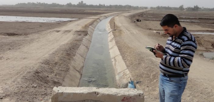
Water is becoming a scarce resource and it is of growing importance to efficiently use it in agriculture, particularly in arid climates, where recent droughts have brought an urgency to develop techniques for monitoring water irrigation and crop productivity. Increasing irrigation potential in the command areas requires considerable efforts, both in terms of time and money.
Advances in remote sensing and GIS have offered water resource researchers and managers a new and fresh way for obtaining accurate spatial data on actual water use, water demand, allocation and distribution of water, and crop yield.
For these tasks, the Zeno 10 GNSS/GIS handheld device with Zeno Office software provides the ideal solution. It is easy to use, customisable and upgradable, allowing enhanced performance and increased profitability in the field of asset collection & management. By simplifying data integration from field to office, rich geospatial data of assets is easily captured and managed with one simple workflow.
Read the full story here.


