


Today there is a high need for flexible, scalable and future-proof GIS solutions which can be easily integrated into business workflows.
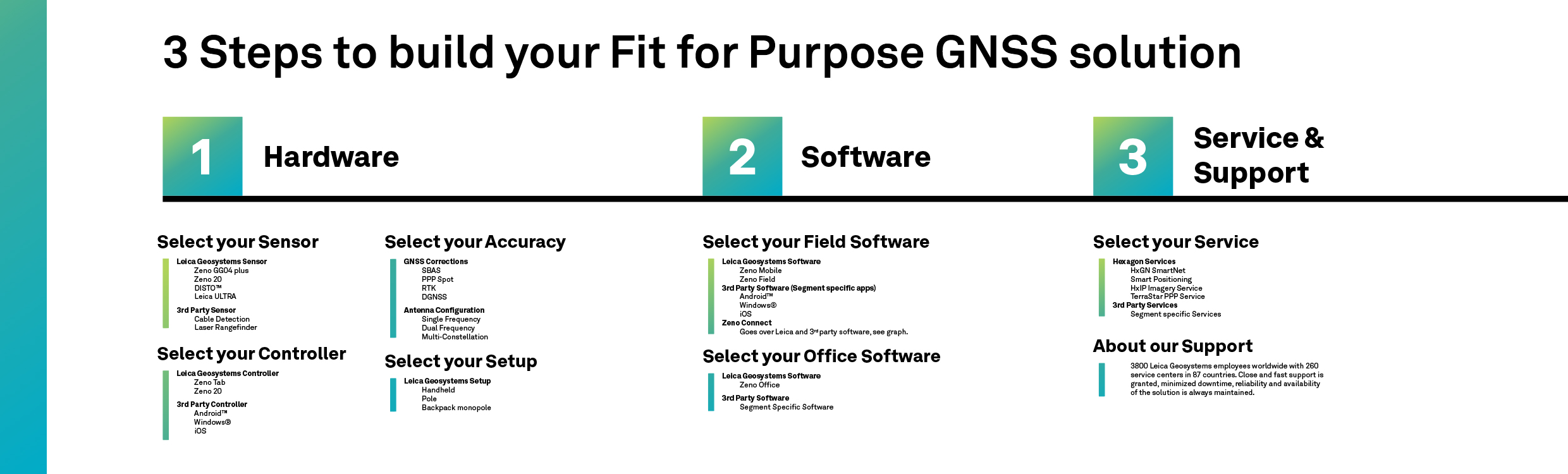
A GIS data collection solution usually consists of the following components:
- GNSS hardware and field controller
- Application-specific field and office software
- Various services and support
Compared to standard survey systems, GIS data collection solutions need a high grade of flexibility to integrate into specific workflows that often differ depending on the application. This flexibility allows the user to be more productive, efficient and cost effective.
Industry-leading hardware and software combined with the Bring-Your-Own-Device concept guarantee the best solution for any user or environment. We call this approach Fit For Purpose as it allows users to decide on their solution using Leica Geosystems hardware and software or their 3rd party app and controller, ensuring integration in workflows and application-specific needs and tasks.
In this blog, we focus on the hardware, the GNSS sensors and its accuracies, the controller and the setup that you need to build a customised GIS data collection solution.

An accurate GNSS sensor
By using the Leica GG04 plus you have a compact, lightweight and ruggedised smart antenna with highest performance and reliability, allowing you to connect with any device being your own tablet or smartphone. If you then need an accuracy of submeter, use a single-frequency (L1) unit. For cm accuracy, you can go for a dual-frequency (L1/L2) device. In case you have an L1 unit and your accuracy requirements increase, a simple software upgrade for L1/L2 will allow you to achieve cm accuracy. It is the same for satellite constellations, you always have GPS, but at any time you can add access to GLONASS, Gallileo, Beidou and others.
In this case, you are future proof and you only pay for what you need today without having to consider what your task might be tomorrow.
If you need to increase accuracy a correction service is commonly used. This can be corrections from a local CORS reference network. The corrections can also come from a local base station. If you can´t get corrections in real time in the field, improve your accuracies by postprocessing in the office. There are also other options for better positions, like corrections via satellites; SBAS for meter-level accuracies or the Hexagon PPP service via L Band for up to 5 cm accuracies.
So, whatever accuracy you need and whatever correction service is available, you can meet your accuracy requirements.
The controller
Do you have the possibility to choose which collector you would like to use?
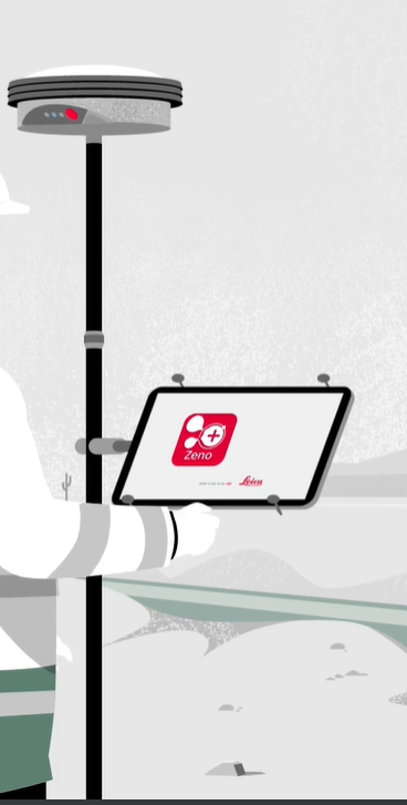
 By using Zeno Mobile field software you are free to use any mobile device or tablet running on iOS, Windows or Android™, whether it’s your well known mobile phone or any device for the purpose needed.
Besides the above options, Leica Geosystems offers the Leica Zeno 20 GIS handheld data collector with a survey-grade integrated GNSS antenna, which simplifies daily data capture for GIS field personnel. It leverages the strength of cutting-edge technology in one remarkably compact device to allow you to achieve more accuracy, save time and increase productivity. The Zeno 20 runs on Android™ and Windows® Embedded Handheld, giving more flexibility in your workflow.
If you are working in extreme working environments, the Leica Zeno Tab is a fully-rugged Android™ tablet with a large screen. Perfect for use outdoors in demanding conditions, its lightweight, all-day battery and easy-to-use field software allows you to work more efficiently and to be more productive.
As well as the above, you can add additional external sensors like:
- Cable detection devices: Leica ULTRA
- Ground penetrating radar: with the GG04 plus
- Distance meters/rangefinder from either Leica Geosystems or from 3rd party manufacturers.
The set up
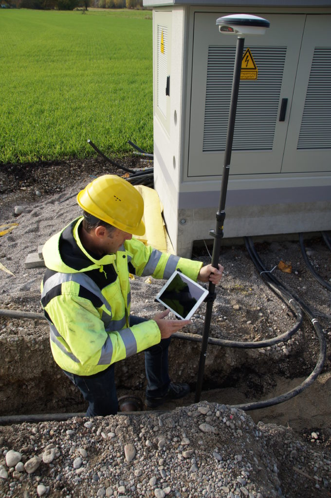
 Being able to choose whether to mount your GNSS sensor in a pole or backpack helps you to tailor the ergonomic setup for your working environment. For land surveying, a backpack with the antenna mounted on the back and a tablet in your hand can be preferred to walk for long periods and traverse through difficult terrain. The pole setup of a smart antenna (a 2-metre carbon pole with the smart antenna on top and a controller attached to the pole), on the other hand, enables greater accuracy in urban areas.
Soon we will bring even more flexibility when it comes to the setup. We will explore further set up options in an upcoming blog.
With this, you have now been introduced to the many options available to tailor your Fit for Purpose solution and optimise capturing data in the field using GNSS.
Explore GIS software, collectors and smart antennas for every application.

By Silvia Nuñez, Product Marketing Manager