


 GIS was the brain-child of English Geographer Roger Tomlinson back in the 1960s, but the first application of spatial analytics can be attributed to John Snow’s now infamous Cholera map of London way back in 1854. GIS has developed rapidly in line with the advancement of computer technology and is now part of our everyday life even if we don’t always realise it.
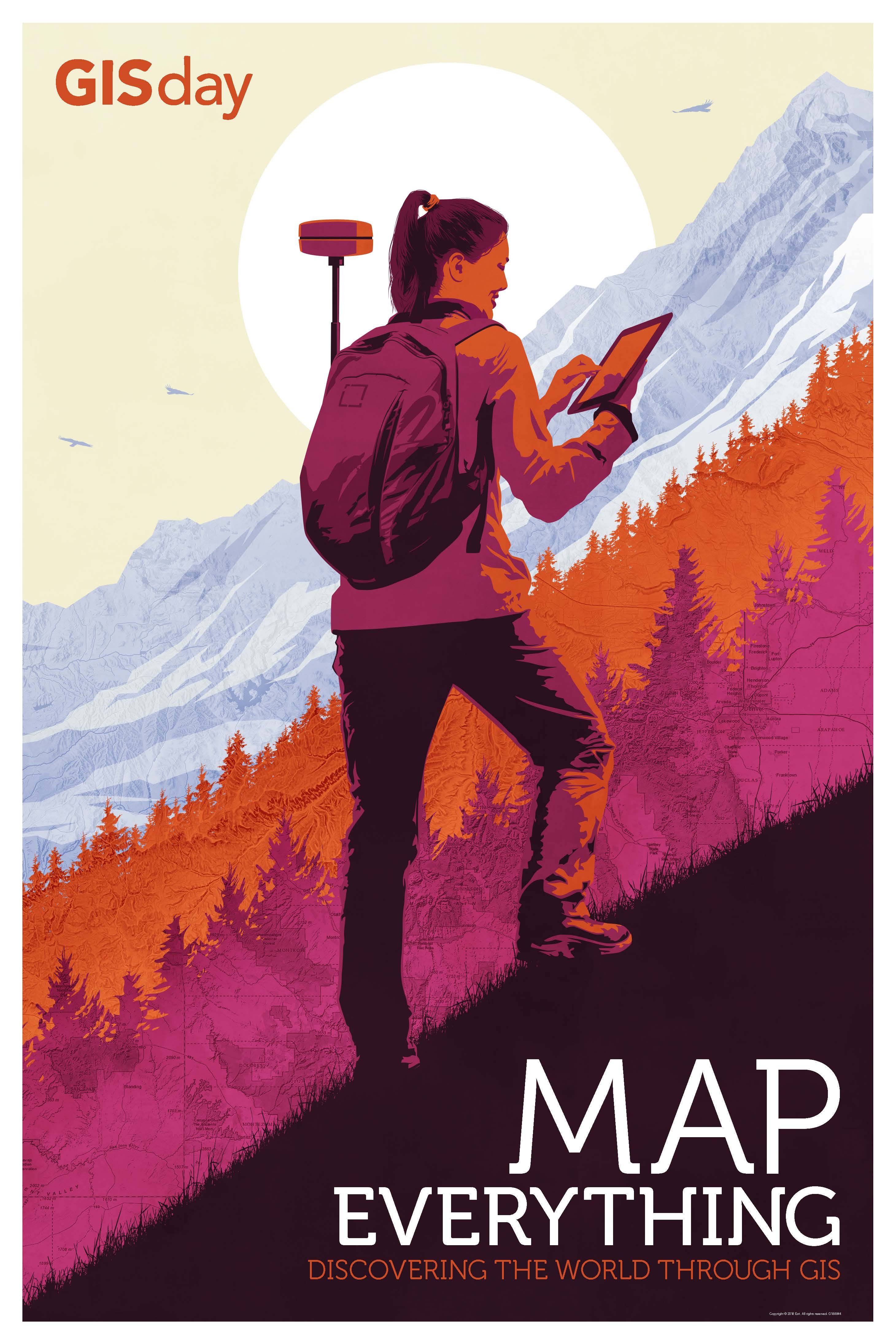
As today is world GIS Day, we thought we’d share our thoughts on 5 current trends in the GIS industry.
- Integration
Indeed, it is just this sort of invisibility that should be seen as a good thing. One of the key values of spatial data is its ability to be easily integrated with other information. When you are searching for your nearest take-away or trying to find the quickest route to the train station, you don’t care that there is a complex GIS database sitting behind the information, you just want the results presented quickly and simply. Leica Zeno software can export spatial data in a variety of different formats to make integration with other GIS systems and databases a simple task.
- Sensor Platforms
Every year technology is miniaturised further and further with the most recent large scale trend being Unmanned Aerial Vehicles (UAVs). These types of mobile geospatial sensor platforms expand the capabilities of individuals and organisations to collect large volumes of high-quality data that can be fed directly to their GIS infrastructure for use in industries such as asset inspection, cadastral survey or construction site mapping. GNSS plays a pivotal role in the collection of such data and Leica Zeno GNSS antennas can also be used for flexible data collection either in the palm of your hand, on a backpack or traditional survey pole.
- User Interface
Since the proliferation of online mapping systems making their way to our smartphones and tablets; users expect a very high standard of user interface when interacting with spatial data. User accessibility to apps is a huge advantage for mobilising enterprise GIS systems. There is a continuous drive to create apps and content that are intuitive and do not need extensive user training. This is useful not only for customers but within organisations themselves. Creating something simple is actually pretty hard and we have put a lot of effort into our Leica Zeno Mobile data  collection app to make it very easy to pick-up and use without lots of training.
- Empowering the Workforce
Changes in the technological landscape of today means it is increasingly important to be aware of the critical spatial thinking and technology skills needed within the workforce. This means broadening and diversifying to make spatial data capture and GIS related tasks an accompaniment to daily work. The Leica Zeno 20 GNSS data capture handheld gives users an easy to use and highly accurate tool when used with HxGN SmartNet technology.
- Scaling
It doesn’t matter if you are scaling up a company, utility network or road infrastructure. Whatever you’re scaling it is important you have the time and resources to do so successfully. Today, companies face headaches over the failure of adequate scaling. Companies need to be flexible enough to change their approach without having an impact on productivity. GIS is no different and enterprise mobility is essential for continued success. There are many opportunities for enterprises to scale their GIS infrastructure by either adding software, apps or servers to increase their productivity. All Zeno GIS products are scalable and offer the user the opportunity to unlock extra functionality and performance to their hardware and software without having to add any extra physical components. This makes scaling performance and productivity easy and with minimum impact.
GIS continues to play an important role in many different types of organisations and it will be interesting see where the trends go in the future. Rest assured Hexagon’s Geosystems Division will be helping to lead the way in GIS data capture with cutting edge software and hardware. We wish everyone in the GIS industry a very happy GIS day!

Alexander MacDonald is an applications engineer at Leica Geosystems.