The demand for spatial data has seen enormous growth in recent years, which has led Leica Geosystems to actively evolve mobile mapping solutions for the surveyor. These systems have become more accurate and provide higher density data which replaces traditional survey solutions offering a reduction in both time, as well as cost of a project.
According to recent reports the mobile mapping market is expected to gain popularity in the next five years. The increase in the usage of mobile devices, the improved network connectivity, and the recent development in GNSS and inertial technology are factors that drive the growth of mobile mapping solutions globally.
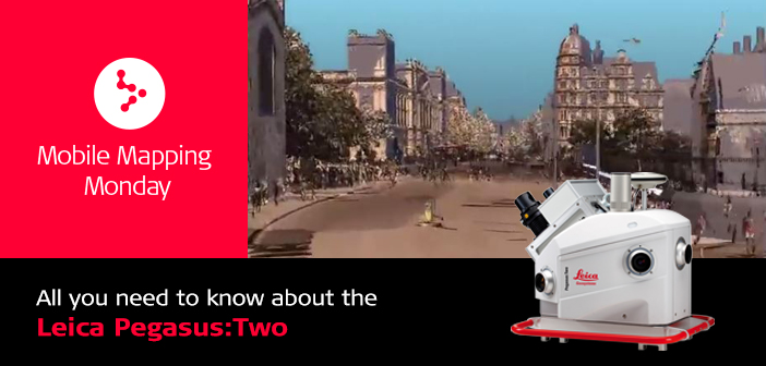
The Leica Pegasus:Two is Leica Geosystems’ complete mobile mapping solution that reduces traditional project costs and creates new business opportunities. Unlike traditional methods, Leica Pegasus:Two mobile mapping solution is safer since there is no need for staff to spend time inside traffic as well as more user-friendly because it moves the work from the field into the office.
The Leica Pegasus:Two offers significant benefits and impressive results:
- Boost your ROI – Fast and efficient the Leica Pegasus:Two enables you to benefit from the integrated workflow to cut your time in the field by 40-60%. It captures calibrated imagery and point cloud data together – assuring that no object is forgotten. Capturing full 360° spherical view and LiDAR together means you never forget an object or return to a project site.
- Remain independent – As a vehicle and application independent solution, the Pegasus:Two serves road, rail and water based surveying. It captures calibrated
 imagery and point cloud data in one pass and combined with Leica Pegasus:MapFactory, it provides a complete post- processing workflow. Revolutionary in design and technology, the vehicle mounted Leica Pegasus:Two mobile mapper pays for itself after 280 km of digital surveying.
 - Create new revenue models – Generate multiple revenue streams from one data set by adding additional sensors to this mobile reality capture platform with survey-grade output, e.g. thermal sensor to measure overheating transformers or thermal dispersion in residential areas, sky cameras for 3D city modelling, Ground Penetrating Radar (GPR) for underground asset management or pavement cameras for pavement assessment and maintenance.
With its ability to handle both asset collection and survey-grade data collection in a single compact, highly efficient system, the Leica Pegasus mobile mapping solution has had a big impact on the market. But the firms using the Pegasus are driving innovation even further.
In the below video, Stephen Ellis of Langan, Obadyah Foord of Rice Associates and Doug Brinley of boticSolutions share their insights on how they are finding new ways to add value for their customers with mobile mapping.
Spicer Group was the first consultant in North America to purchase the Leica Pegasus:Two mobile mapping platform. The system has allowed the largest surveying and mapping firm in Michigan to expand its infrastructure surveying and mapping services across the United States. The team consistently travels the nation to provide accurate, survey grade mobile LiDAR mapping services to clients of all types.
For more information visit: http://leica-geosystems.com/products/mobile-sensor-platforms/capture-platforms/leica-pegasus_two


