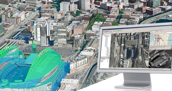
Unifying multi-sensor workflows with Leica HxMap
This blog post comes from the webinar HxMap – Unified Processing of Airborne Imagery & LiDAR. Watch the webinar here.…

This blog post comes from the webinar HxMap – Unified Processing of Airborne Imagery & LiDAR. Watch the webinar here.…

This year’s Geospatial Solutions Sub-track offers an exciting line-up of unique speakers covering mapping and measurement projects from land, air…