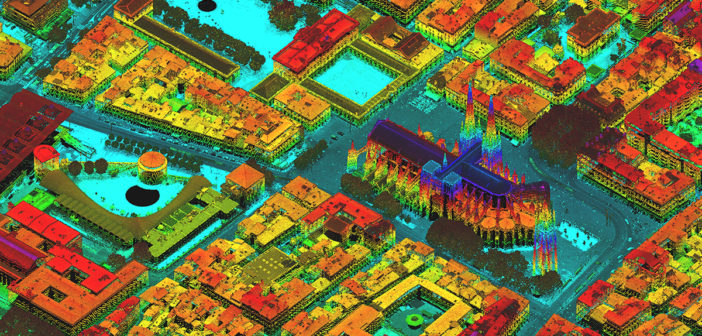
In recent years, the airborne mapping industry has made great strides in technological advancement. With its portfolio of highly efficient airborne sensors, Leica Geosystems’ innovations focus on collecting more data during each flight.
This list of webinars will help you to better understand the different types of airborne mapping sensors, processing software, and their use cases – from hybrid oblique imaging and LiDAR sensors for urban mapping, to single photon LiDAR technology for large-area, high-density LiDAR projects, to a four times more efficient bathymetric system.
Are you ready to take your airborne mapping to new heights? Click on the links below to watch any of the webinars on demand.
- Efficient Urban Mapping with New Sensor Technology
This webinar is presented by John Welter, President, Geospatial Content Solutions, Hexagon’s Geosystems division, and explains the improved productivity to be found in airborne urban mapping with the Leica CityMapper-2. Leica Geosystems’ unique mechanical forward motion compensation (FMC) and the benefits it brings to airborne image quality is discussed in detail. The Leica HxMap high-performance processing workflow is introduced to support professionals involved in smart city with highly productive data processing. - New 4X airborne bathymetric technology provides unmatched point density
Presented by Carol Lockhart, CEO of Geomatics Data Solutions, now of Woolpert, and Anders Ekelund, VP for airborne bathymetric LiDAR at Leica Geosystems, this webinar introduces the 4X technology that achieves unrivalled airborne bathymetric survey performance and four times the point density with the Leica Chiroptera. Along with Leica LiDAR Survey Studio, the post-processing workflow for bathymetric sensor data, results from a survey of Tonga and Niue islands are also presented. - New generation LiDAR technology for mapping of complex terrain
Ekelund presents how new LiDAR technology changes the way you capture and visualise elevation data and how high-accuracy information drives informed decision making. Introducing the Leica TerrainMapper and Leica HxMap, airborne mapping over complex terrains provides even point densities and is made extremely accurate. - Single Photon LiDAR: The logical next step in airborne LiDAR mapping
Ron Roth, product manager for airborne topographic LiDAR at Leica Geosystems, presents how single photon LiDAR technology will change the way you capture, visualise and use elevation data. With this new technology that captures six million points per second, high-resolution terrain and elevation data become readily available to assist cooperative and informed decisions making.


