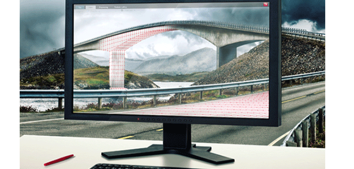
This is the fifth in a series of posts about Leica Infinity, the survey software that connects the field to the office.
Using a background image is an easy way to let the user visualise and realise their measure data campaigns by drawing the data over the imagery.
Using the Georeference Wizard is an easy way to import images so they can be used in your project.
The number of georeferenced images that can be used in Infinity is not limited. This gives you an easy way to build a list of images in the project to:
- Compare views of job progress
- Compare current imagery to older imagery
- Import and use historical maps from different points in time to compare the measure data from today


