


Precision EM locators enable you to select an extensive range of modes and settings, giving you extra control to ensure maximum accuracy for your site conditions. The flexibility, combined with increased available transmitter power and frequency range, result in increased confidence in the quality of the survey process.
One of the key areas to achieve increased accuracy is through locating and surveying process integration. Do you use your EM locator and mark the points on the ground where the utilities are anticipated to be? What happens then once these markers are gone? There is no traceability of how, when and where the utility mapping happened.
Leica Ultra can help eliminate these issues through integration with surveying equipment and software to provide a log of data points for each survey which can deliver increased accuracy but also significant time savings and reduce the possibility of data errors that may occur.
If your purpose is to detect underground power cables or a specific power cable you need to use an Electro Magnetic Locator. In most of the cases, power cables are the hollow utilities that makes excavating difficult. Damaging power cables is not only expensive but, more importantly, is very dangerous. If the purpose of the detection is to avoid cable damaging during excavation, an avoidance EML would be the best option as it is easy to use and practical. Leica DD SMART Utility Locators provide fast and accurate cable location and make the detection easier with state-of-the-art digital signal processing.
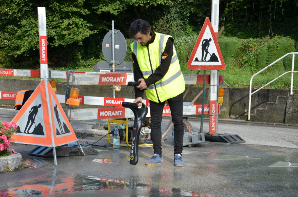
If the purpose of the detection is to track a cable over a long distance to map it, the correct product would be a Leica Ultra. The compass on the display guides the user to locate the power cable and gives the direction of it. Leica Ultra can also be connected to Zeno 20 GIS Collector device for precise positioning of the cables. Using the Leica DX Manager Mapping Software, the cable locations will be uploaded to the cloud and can be analysed in real time in the office. With Leica Ultra, Zeno 20 and DX Manager Mapping, users can locate and digitally map the underground assets fast, precisely and efficiently.
What to look for in a precision locator?

Flexibility – The number of modes and features varies between locators but the more complex the sites you work on, the more critical the level of flexibility will be.
Range – When considering range, you should think about the distance you need to trace the signal over. The further the distance the lower the frequency and increased transmitter signal power you will need.
Accuracy – Ensuring your locator has a peak reading response, as well as numerical and graphical locating indicators, will help reduce the impact of signal distortion and increase pinpointing accuracy. These features, combined with depth estimation, enhance the accuracy of the data you collect.
Traceability – Integration into surveying software and instruments enables all your data to be traceable. Helping to increase client confidence in results.
Environment – The locating environment can have a huge impact on the accuracy of your data, the right modes, features and references can help reduce environmental impact i.e distortion from other utility lines or large metal structures
Training and support – To make locating and pinpointing all the known and unknown buried utilities an easy and efficient task, choose a company that is able to provide a seamless solution for training and whole life support. Leica detection campus provides you with a thorough insight in to our extensive portfolio of detection solutions.
Written by Anabela Ferreira Fernandes, Marketing Communications Manager at Leica Geosystems