Four new Galileo GNSS satellites bring added benefits to Leica Geosystems GNSS
At 13:06 UTC 17 November, Ariane 5 flight VA233 successfully lifted off from Europe’s Spaceport in Kourou, French Guiana. Europe can be proud of this historic launch – for the first time a space rocket carried four navigation satellites at once into space.
Formerly, GPS could only ever launch one satellite at a time. The more powerful Ariane 5 and the lower weight of the Galileo satellites allow this technical master stroke.
© ESA/Arianespace
“Now that we can rely on the powerful Ariane 5, we can anticipate the quicker completion of Galileo deployment, permitting the system to enter full operation,” remarked Paul Verhoef, ESA’s Director for the Galileo Programme and Navigation-related Activities.
It seems likely, that Galileo’s full operational capability of 30 satellites will be available by 2020, as it is unlikely that the assured budgets will be withdrawn.
Benefits for users of Leica Geosystems GNSS technology
 As Leica Geosystems focuses on high precision GNSS technology, users will soon benefit from this historic launch.
Before the four new satellites will be fully validated, though, users of Leica Geosystems highend GNSS receivers – Leica Viva GS10 & GS25, GS15, GS16 – already benefit from the nine Galileo satellites in place with current signal status healthy.
The below shown graphic gives an indication of what is already possible now and shows what will be possible in the near future under the most challenging conditions.
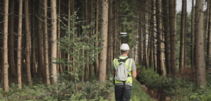
The diagram shows the result of a test, where an antenna was placed underneath dense forest cover. The blue line indicates the time interval when a GPS + GLONASS + BeiDou combined cm resolution was available. The red line shows the same measurement by adding the existing Galileo satellites. The test shows that with Galileo availability tremendously improves and therefore surveying productivity increases.


© ESA–Pierre Carril
More improvements to be expected with completion of Galileo
By the end of this year, a total of six new Galileo satellites will have been placed in orbit. Another eight additions will follow in the next two years. This rapid expansion means that users will soon have further significant improvements in the availability of positions under difficult conditions.
Overall, the completion of Galileo will reduce downtime for Leica Geosystems GNSS users significantly. This means it will now be possible to take measurements at places – particularly in urban canyons and canopy environments – where we would not have believed possible years ago.

Bernhard Richter is the Leica Geosystems Business Director GNSS.


