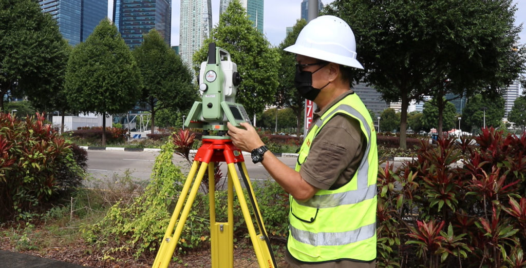
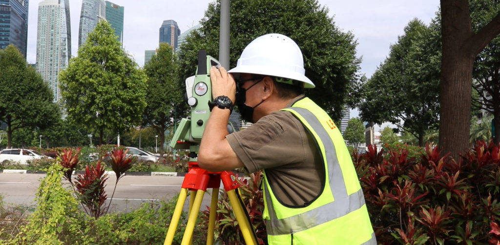
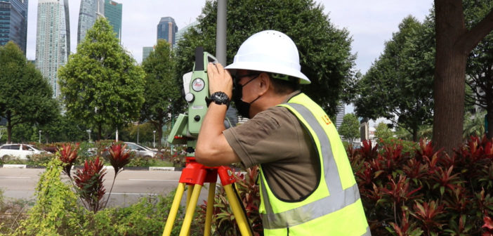
As a global leader in the geospatial industry, Leica Geosystems offers high-performance products that solve the challenges of daily surveying and meet the demands of complex engineering.
The Leica Geosystems’ legacy of excellence continues in the FlexLine TS03, TS07, and TS10 new generation manual total stations. This article explains the reasons for FlexLine’s success with surveyors, with insights from some of the teams behind this revolutionary series.
Designed to perform
Leica FlexLine manual total stations are based on a proven product concept that enables surveyors to complete tasks with precision and accuracy over the entire product lifetime. Potential issues are avoided before they occur, ensuring minimal on-site disruptions and peace of mind for surveyors.
The FlexLine series is widely relied upon to improve productivity and offer superior data capture and detailed stakeouts for a range of surveying tasks.
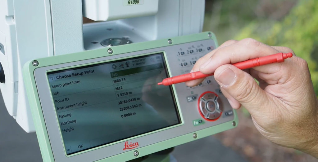
Danuta Kusber, Product Manager from Leica Geosystems AG, explains: “Leica FlexLine manual total stations feature a premium design with enhanced environmental protection according to the IP66 standard (water and dust resistance). An important factor of the overall outstanding performance is our AutoHeight feature, the ability of the total station to automatically measure, read and set the instrument height. It minimises errors and accelerates the setup process on site. All total stations are developed and produced under the strict promise of “Swiss Technology”. This merges precision, reliability, quality and sustainability in products our customers can trust and use over a long period of time without fearing downtime thanks to the proven quality and an expert global service and support network.”
The Leica TS07 and TS10 can integrate 4G modem, enabling the availability of mobile data. Managing last-minute design data changes from the office out in the field is becoming more and more critical.
For more on the FlexLine series, watch this webinar.
Designed to last
Leica Geosystems is well known for its stringent, high-quality standards, and the FlexLine series upholds these standards.
“Allow me to explain what makes these instruments so strong and special. It is the durability of our total stations. Our company has years of experience in building them and they are a condensate of our entire know-how. This starts with the development and continues with the selection of the right materials and suppliers. Furthermore, during the production process, we perform a number of testing procedures that guarantee the highest quality of our instruments,” Kusber concludes.
The TS03, TS07 and TS10 are quality tested between -20C and +50C temperatures for enhanced environmental protection and IP66 rating coherence to ensure reliable functioning even under harsh and extreme conditions. As a result, the FlexLine manual total stations offer the longest durability in the industry.
As our customer, Denis Meremans (Head of Survey Department at Six Construct Ltd., UAE), puts it: “We work in the deserts of the Middle East under extremely hot, humid conditions with very fine dust. Leica FlexLine solutions cost, but more importantly, over the years, they are the most reliable and cost-efficient. The design is extremely robust. We know we can trust the instruments to do their work accurately and reliably under these harsh conditions.”
Hans-Martin Zogg, Business Director at Leica Geosystems AG, sums it up: “Unlike other manual total stations in the market, Leica Geosystems instruments focus on providing the highest quality, the lowest total cost of ownership and the longest durability in the industry, enabling users to work with purpose-driven solutions for the best results. By durability, we are referring to a detail-driven, high-performance finishing and ruggedness that can tackle any site condition. Considering the entire instrument lifetime, Leica FlexLine manual total stations actually come at a lower cost thanks to the so-called lowest total cost of ownership – this goes beyond just the purchasing price, it includes less service cost, downtime, unforeseen repairs, and more. The customers can keep those to a minimum with our instruments thanks to the predictability and reliability of the investment. To substantiate our claims, we are performing regular field tests with FlexLine instruments – this is why we can also claim that, in comparison, more points can be measured and laid out with our total stations. We always create a testing area with non-changing conditions and test the set up, measuring and staking process. Our tests have shown that the setup process, the aiming, and general task completion is much faster with FlexLine, while also reducing frustrations and increasing the surveyor’s safety on site.”
When making a decision, it is crucial to look beyond the instrument’s price. Consider product lifetime end costs and focus on the long-term perspective of your purchase. For example: what will happen once you no longer use the instrument? Will you be able to resell it at a reasonable or profitable price? How high is the disposal or decommissioning cost? Your investment pays off only if your instrument has value stability.
The value of a Leica Geosystems total station remains high during and after the product lifetime, especially when compared to total stations from other manufacturers.
Designed for efficiency and productivity
The FlexLine workflow integrates the robust manual station capabilities with the intuitive onboard software (FlexField and Captivate) and the user-friendly office software (Infinity).
The powerful integration offers surveyors end-to-end coverage of their surveying tasks, enabling them to capture, process, report, and share information like never before, regardless of the scale, scope and complexity of the task.
Leica Infinity office software enhances the data processing and data sharing value chains for surveyors. By allowing teams to access, process and work upon the latest datasets at any time, quickly share updates to the field, and deliver results, Infinity creates an infinitely connected working environment.
Kevin Hanson, Senior Product Manager, Leica Infinity, explains the infinitely connected office software: “The software offers stakeholders control over all the data processing workflows – connecting to data sources, sharing to and from instruments, visualising, collecting, processing, confirming, reporting, and sharing data. The versatility of Infinity is shown when users can connect and work with various data sources – BIM, CAD, GIS, and more. A job has many steps needing to combine, extract, generate and export data deliverables, Infinity is seamlessly supporting your workflow.”
Now Infinity is available for an affordable monthly subscription rate (annual)
Backed by a 200-year old legacy of innovation
Leica Geosystems is part of the legacy that has shaped the history of surveying. Heinrich Wild, Founder of WILD Heerbrugg, the parent company of Leica Geosystems, developed the world’s first universal theodolite in 1921. Over the decades, the company has pioneered groundbreaking innovations and set new benchmarks in survey and measurement.
While celebrating 100 years of Innovation in Heerbrugg, Switzerland, and 200 years of surveying history, Hans-Martin Zogg says, “We are driven to solve our customers’ problems and provide them with the best solution — hardware, software and services — and are grateful for the spirit shown by our dedicated teams at Leica Geosystems. Or, as Heinrich Wild, one of the founding fathers of Leica Geosystems, described it: “The greatest incentive and at the same time the greatest encouragement is competition from oneself. We have been following this principle in the past and will continue to use it as a motivation for future-proof research and development.”

The TS03, TS07, and TS10 reflect the Leica Geosystems legacy. The FlexLine series is yet another example of the company’s commitment to meet customers’ needs and exceed their expectations.
To see first-hand how you can use Leica FlexLine’s capabilities, request a demonstration.


