Leica SmartLink – Geo-referencing in areas, remote as can be
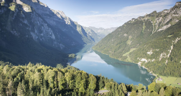
Determining the volume of a lake and the impact of changing water level seems to be a challenging undertaking, but…

Determining the volume of a lake and the impact of changing water level seems to be a challenging undertaking, but…

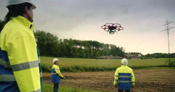
Alpiq EnerTrans AG in Switzerland, uses a remote-controlled hexacopter to carry out inspections of live overhead power lines. Previously the…

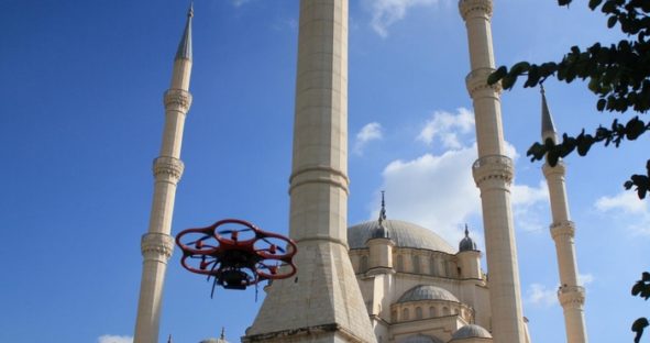
Detailed 3D model created within a few hours The Turkish distributor of Leica Geosystems SISTEM A.S., the project management service…

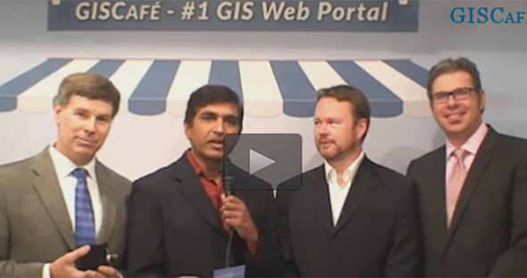
David Bannon from Headwall, Jörg Lamprecht from Aibotix and Ruedi Wagner, Vice President of Airborne at Leica Geosystems are…