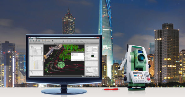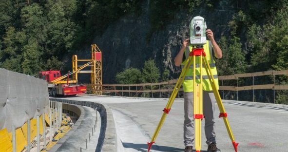
Building on Leica Geosystems’ legacy of quality and reliability, the FlexLine series harnesses technological advances to provide surveyors with an…
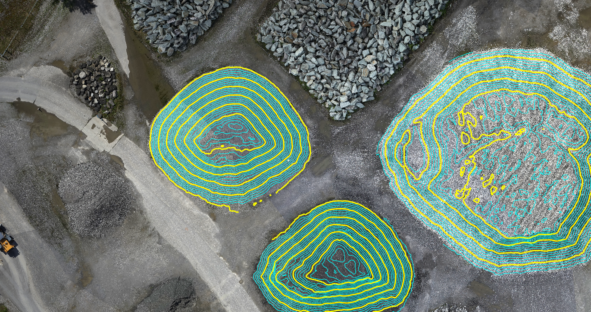
To build trust for UAV data, you need to be able to assess the quality of the orientation and the dense point cloud. Leica Geosystems wants to provide all the tools to help evaluate the quality of the end results and build the trust that these comply with the project requirements and the user can rely on them.
This is the final interview of a series about modern manual total stations. In the first interview, Hans-Martin Zogg gave…
Six steps of a typical surveying workflow This video takes you through six steps of a typical surveying workflow –…