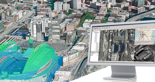
Unifying multi-sensor workflows with Leica HxMap
This blog post comes from the webinar HxMap – Unified Processing of Airborne Imagery & LiDAR. Watch the webinar here.…

This blog post comes from the webinar HxMap – Unified Processing of Airborne Imagery & LiDAR. Watch the webinar here.…
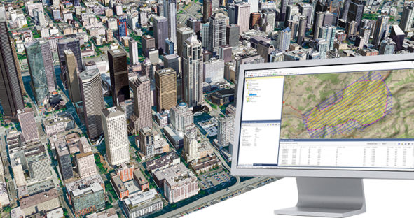
This blog post comes from the webinar How to plan for a Leica CityMapper-2 project. Watch the webinar here. As…
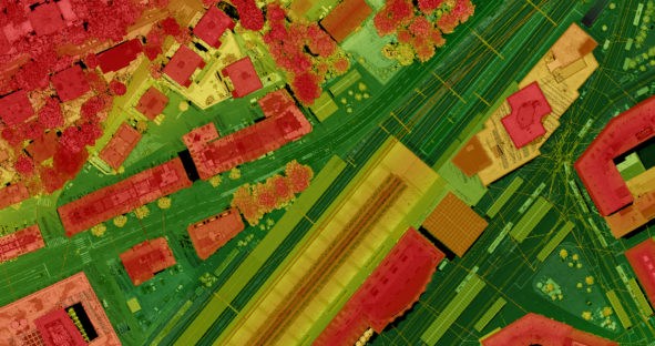
I recently sat on a panel with industry colleagues titled The Future of LiDAR and sponsored by Geo Week. The…
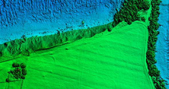
According to the National Oceanic and Atmospheric Administration (NOAA), major floods have increased by 300 – 900% over the last…
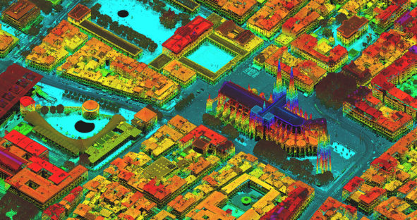
In recent years, the airborne mapping industry has made great strides in technological advancement. With its portfolio of highly efficient…