As the major enabler of human mobility, the railway industry faces the never-ending process of having to prove its reliability and competitiveness against other forms of transportation. Innovative and customer-oriented services for passenger and cargo transport are in demand like never before.
Prisma Van Steenis, a member of the Prisma-Groep, is a survey provider in the Netherlands that understands this constant upheaval. In recent years they stepped into the mobile mapping market by purchasing the Leica Pegasus:Two and the Leica Pegasus:Backpack, which enabled Prisma Van Steenis to collect and then extract advanced, detailed information from point clouds and images.
For a rail survey project in Netherland Prisma Van Steenis used the Pegasus:Two mounted on a hi-rail vehicle for data capture. The 8,900 m long rail track, mostly in tunnels, has an east orientated track and a west oriented track.
To analyse the data Prisma Van Steenis used the Leica SiRailScan software for dynamic clearance gauge analysis based on the current as-built track position. The Leica SiRail Suite software package provides extraction and analysis of 3D laser scan data for the rail industry.

Synchronised point cloud and batch calculated rail track geometry
Ahead of the analysis the project owner provided wagon profiles with different radii parameters for the structure gauge of the curved tracks (throw). Traditionally, a mathematic formula for straight and curved tracks was used to calculate each sector with the throw for the structure gauge. SiRailScan enabled the calculation of the throws for straight and curved track dynamically and fully automated. The software delivered two structure gauges for the whole track. This significantly reduced processing time compared to the traditional workflow.

Georeferenced point cloud with wagon profile
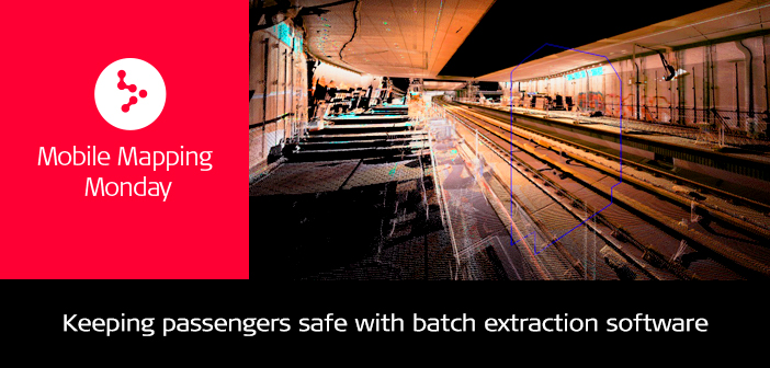
The synchronised point clouds from Pegasus:Two and the structure gauge calculated in SiRailScan formed the basis for the dynamic clearance analysis based on current as-built track geometry.

Resulted collision point in image format
This project involved different applications in SiRailScan.
The batch rail adjustment function extracted the as-built rail track geometry and formed the basis for further analysis.
The batch collision detection regarding to the railway chainage based system (track, Station, direction) deliver the results of the constrictions in image form *jpg and PDF, as well as Scan data.
The export result of the batch distance to station function delivered detailed information about the distance from the station platform to the clearance gauge in DXF format.
SiRailScan software enables a complete extraction of the as-built railway network with engineering accuracy. By analysing the as-built infrastructure of the rail network, increased safety through train control and cost effective engineering is achieved. With best-in-class batch processing and network extraction, SiRailScan is ideal for monitoring and maintenance of private or public rail networks, helping you to achieve stability and longevity of your rail network.


