If this blog post is helpful for you, book a free AP20 demo.
A range of challenges surround surveying service providers today as they work to build thriving businesses:
- Finishing projects quickly and cost efficiently while providing quality deliverables.
- Investing in new technologies to expand and improve services while minimising service downtime for training.
- Attracting the next generation of surveyors and keeping current employees motivated with technology that makes their job easier and safer.
To meet these challenges and turn a precarious balancing act into an opportunity for growth, business owners require productivity-enhancing solutions with familiar interfaces that are easily integrated into their existing instrument setups and digital workflows.
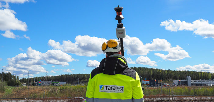
For users of Leica Geosystems automated total stations, the Leica AP20 AutoPole is one such solution, digitising previously manual operations with the survey pole. The AP20 enables measurements with a tilted pole, provides automated height updates in the field software, and automatically searches and locks to the correct target, solving three common productivity problems with one smart system.
Since its March release, surveying service providers who have integrated the AP20 into their measurement processes are reporting big productivity and, correspondingly, business benefits.
Taratest Oy, a surveying company in Finland, long-time Leica Geosystems partner, and frequent early adopter of new technologies, invested in the AP20. As geodetic specialists offering services including land, building, and construction surveys, environmental measuring and modelling, reality capture, and more, they were eager to apply and test the AP20 in their working environment.
The result? Increased efficiency, timely and high-quality deliverables that satisfy customers, and an enriched working experience for their surveyors.
In this blog, Taratest COO, Tuukka Räsänen shares Taratest’s experience with the AP20, including three key ways the AP20 has impacted business and proved to be a strong asset for continual growth.
1. Profit Increases
 The challenge of surveying work, Räsänen explains, has been to increase efficiency in the field as contracts for projects are replacing traditional hourly, rate-based models. The AP20’s range of features streamlines work in the field and in the office, particularly increasing profits under the contract model.
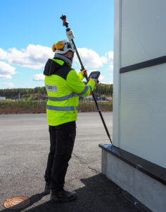
To start, automatic tilt compensation enables significant time savings in the field, removing the need for Taratest surveyors to level the pole for each measurement and allowing them to reach previously inaccessible points with an angled pole.
“The surveyor can do more work from the same total station setup,” adds Räsänen. “For example, when surveying in construction and building environments, tilting the pole makes more corner points directly visible from the same total station setup.”
Räsänen also highlights the automated PoleHeight feature: “The automated actions reduce the occurrence of the most common human error – entering the pole height incorrectly. This means less things to check in the office.”
The AP20’s PoleHeight feature works by automatically identifying and recording height updates in Leica Captivate field software. Thanks to a sensor snap system, surveyors can freely adjust the height of their pole without needing to manually record those changes. Eliminating several previously required manual steps, automating pole height readings saves time in the field and, importantly, saves time correcting errors in post-process.
As part of the Leica automated total station workflow, the AP20 helps complete more contracts for a range of survey work faster, resulting in a clear return on investment and an avenue to increased profits.
2. Provide high-value deliverables to clients faster
Räsänen explains that the AP20 creates mutually advantageous results for Taratest and their clients: “Our customers benefit from the efficiency of the AP20 when we are able to do the job faster than before,” says Räsänen.
 The AP20 also allows Taratest to complete jobs in conditions which were not just time intensive, but difficult to complete at all with high accuracy, such as surveys of drilling points in densely forested areas.
“In Finland, many drilling points are located in really dense forests where no clearing has taken place,” describes Räsänen. “In these conditions, GNSS is not able to measure the location with sufficient accuracy. Now with the AP20, we can adjust the height and tilt of the pole to find a position that makes the prism visible between the leaves and the total station, all with accurate position data.”
With the AP20, Taratest surveyors can be certain that all height and location data is correct and traceable, even if the prism pole is frequently adjusted to avoid obstacles, adding clear quality assurance that enables high-value deliverables for customers.
Delivering accurate results across sites and conditions quickly to customers with the AP20 keeps projects on track, provides Taratest with a competitive edge over other surveying service providers, and encourages customers to return when new projects arise.
3. Competitive advantages as an employer
Adding the AP20 revolutionises and improves the daily workflow of surveyors – from completing work quickly with fewer manual operations to enhanced safety on dangerous sites. Each AP20 benefit realised by the surveyor is equally an employer benefit resulting in competitive advantages for employee retention and attracting the next generation of surveyors.
“The AP20 brings the automation we have been waiting for to make field work easier, faster, and more enjoyable. The best feature is the automatic height detection. It has clearly been in the dreams of all surveyors for a long time,” says Räsänen.
However, adopting this technology doesn’t mean extensive training and service downtime. For Taratest surveyors already equipped with Leica Geosystems equipment and software, including Leica automated total stations, GNNS smart antennas, Leica Captivate, and Leica Infinity, learning to setup, use, and integrate the AP20 was intuitive rather than time intensive. The setup wizard speeds this transition by making total station pairing easy and allows surveyors to utilise the AP20 in the Captivate Apps they already rely on. Even within advanced workflows, such as those used in the Captivate Road app, surveyors benefit from increased speed and reduced errors.
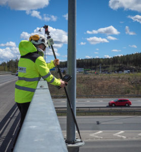
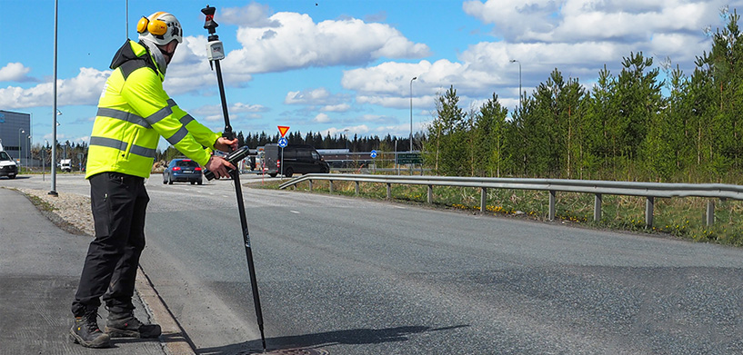
Keeping surveyors safer in the field is another benefit realised in many common situations, such as measuring points along roadways or well, pit, and trench measurements. With the tilted pole, surveyors can measure manholes, sidewalks, and other roadway features without having to stand directly in the path of traffic. Additionally, points that would have previously required surveyors to climb over rails or fences and try to level the pole from uneven or steep surfaces, are now accessible and safely measurable.

Contextualised with a practical scenario, Räsänen elaborates on these benefits for the surveyor:
“Well and pit measurements require accurate heights from incoming and outgoing pipes, which can be difficult to access. Using a tilted pole and automatic height updates with the AP20 increases safe access and significantly speeds up fieldwork.”
“Additionally, this reduces the manual clean-up of office documents because height and location information are already in place,” addressing several well-known pain points for surveyors, improving their workflow, and keeping them out of harm’s way.
“The AP20 works as promised,” concludes Räsänen. “The product has been reliable and functional right from the launch, securing the continuity of the solution and its benefits for business well into the future.”
Ready to learn more about how the Leica AP20 revolutionises surveying field work and increases productivity across applications? Read the Expert Insight: The AP20- Equipped Surveyor.


