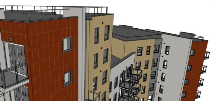
In the Architectural Engineering and Construction (AEC) industry, important decisions must be based on highly accurate, up-to-date data in order to prevent costly mistakes down the line. Whether you’re completing an adaptive re-use project, renovating a custom home, or retro-fitting the façade of an existing building, scan to BIM (Building Information Modeling) can help you reliably achieve the level of accuracy required for your BIM projects.
Scan to BIM utilizes accurate and detailed 3D laser scanning technology to create point clouds of buildings, infrastructure, utilities, and more. But although scan to BIM is a powerful process, it also comes with unique considerations and challenges that can impact your ability to use your data to its fullest potential.
Here are four scan to BIM best practices to follow to ensure you’re getting the most out of the data you receive.
1. ESTABLISH PURPOSE AND SCOPE
Before you begin the scanning process, it’s important to understand what the point cloud and model will ultimately be used for. This ensures that the level of data collected aligns with the needs of the project and can be organized in the most useful way possible. In other words, is the project’s primary focus on the building envelope, on the Mechanical, Electrical, and Plumbing (MEP), or is there another purpose?
With scan to BIM, you can model anything from a few select components to everything on your site, and understanding the purpose of your model will help you determine the scope of the scanning process.
For example, if the existing MEP on your site is due for removal tomorrow, there would be little benefit to scanning all MEP components in great detail for that project, whereas another project might focus entirely on the MEP components. When establishing purpose and scope, context is key.
When you set the scope by establishing what areas of the building or project will be documented in the BIM model, you can avoid scope creep and ensure all stakeholders are on the same page about the final deliverables.![]()
2. COMMUNICATE AND COLLABORATE WITH STAKEHOLDERS
Scan to BIM data is useful for many different stakeholders, from owner/developers to architects and beyond, so it shouldn’t be siloed in one place. Everyone who could benefit from the data should be able to access it and use it for collaboration.
Raw data files are large and often difficult to share, but with the help of cloud-based applications like Multivista Documentation Software (MDS), you can easily share point clouds. MDS enables stakeholders to access and interact with 3D point clouds via laptop, tablet, or mobile device, even when they’re not on location.
3. ENHANCE POINT CLOUD DATA WITH IMAGERY
Point clouds created with 3D laser scanning are highly accurate, and imagery is not strictly necessary in order to use them. However, photo visuals can help stakeholders better understand and navigate point clouds.
Ideally, you’ll be able to combine your point cloud data with 360ᵒ imagery. Multivista’s online platform, for example, leverages Leica Geosystems’ TruView technology, which empowers stakeholders to take virtual photo-realistic tours of your project site from anywhere.

4. WORK WITH TRUSTED 3D LASER SCANNING PARTNERS
While it’s possible to perform 3D laser scanning with an in-house team, there are numerous benefits to working with a professional provider, including:
-
- Lower upfront costs. Equipment and software for 3D laser scanning can be very expensive, and training or hiring experienced operators requires additional resources.
- Less runway required. A significant time commitment is required to research and source equipment, hire and/or train team members to perform scanning, and calibrate a new scan to BIM workflow. When you partner with a professional 3D laser scanning partner, you can get started right away.
- Professional guidance. The ideal partner will assess your project and identify the best solution and scope to fit your project’s needs, so you aren’t guessing at what needs to be captured.
- Maximum data utilization. Some partners, like Multivista, can provide not only 3D point cloud data, but complete BIMs, so you can make the most of your scan data.
- More efficient resource allocation. When you leave the capturing and modeling to the experts, your team can focus on other important tasks and save one of your project’s most precious resources: time.
![]()
TAKE YOUR SCAN TO BIM STRATEGY TO THE NEXT LEVEL
When you want to start your project right, trust in 3D laser scanning to capture your site with precision. By establishing a clear purpose and scope for your scanning project, enabling communication and collaboration, enhancing point cloud data with imagery, and working with a trusted partner, you can ensure your scanning data gives you the best starting point for creating a BIM.
Ready to implement these best practices? Building Solutions – Integrated can help. Our Construction Project Tracking capability features powerful Leica Geosystem scanners, and our experts will capture the data you need to make confident and informed decisions.


