


Many surveying and engineering firms invest in 3D laser scanning technologies to expand their services with rapid and comprehensive data captures. And it’s easy to see why – incorporating 3D laser scanning services can open new revenue streams and market segments as more applications for point clouds emerge.
However, investing in reality capture technology alone isn’t enough to succeed. Without a clear plan and strategy for selecting and integrating 3D laser scanning hardware and software, you miss a crucial component of optimising your surveying portfolio’s potential.
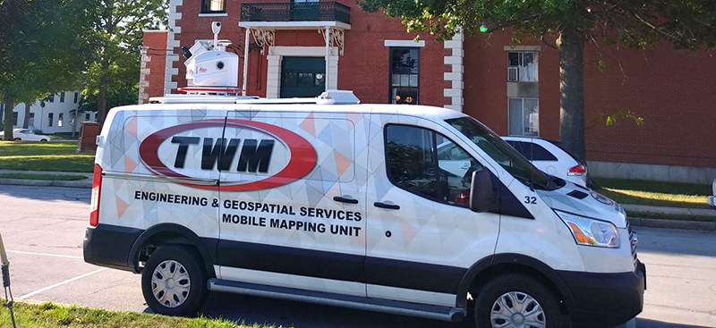
One company that has cracked the code to unlocking successful integration and business growth with 3D laser scanning is the US-based engineering and geospatial services firm, Thouvenot, Wade and Moerchen, Inc. (TWM). Prior to 2012, TWM’s land surveying division primarily functioned as a support service for their engineering projects. Today, their geospatial division makes up over half of the firm’s staff with revenue growth of approximately 900% from 2013 to 2021, when they focused on 3D laser scanning as a stand-alone service.
In this blog, Derek Twente, Director of Geospatial Services at TWM, shares lessons learned and 5 key strategies that have helped TWM expand and thrive with reality capture services.
1. Research and create a clear plan for reality capture workflow integration
Twente’s advice for managing investment risks starts long before you ever complete your first scan: to begin, research and plan how 3D laser scanning technologies will fit into your existing business.
“Taking the risk is a critical part,” Twente explains, “but we spend a lot of time making sure we understand how to integrate the technology into our workflow and what the return on investment will be.”
Research competitors, define segments you can serve and identify the technologies that will be most beneficial for those segments. Additionally, define what you need to become proficient and profitable. For example, how many field and office staff will perform data capture and processing tasks, and what training will they need? What marketing campaigns and associated costs will be necessary to make customers aware of your new services?
Finally, Twente recommends growing gradually into larger projects as you add 3D laser scanning technologies into your workflow and building a solid groundwork to ensure you can deliver valuable services at scale.
2. Invest in the right hardware and software for your projects
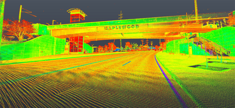
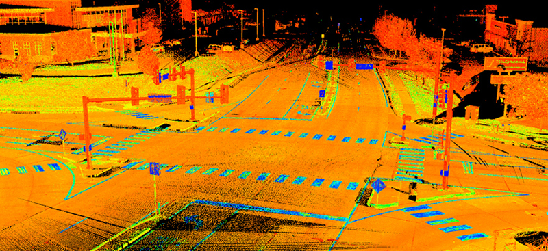
Determining which technology to invest in as you build your reality capture service offerings is a critical component of success. With a range of Leica Geosystems 3D laser scanning equipment, TWM currently has the technical capabilities and capacity to take on an equally wide range of projects.
“Our company growth is a result of our commitment to invest in technology,” says Twente. “A lot of our overall success was generated from our initial investment in reality capture.”
TWM first invested in the Leica ScanStation C10, and their fleet of laser scanners has grown with capacity and client needs. Along the way, they added two high-speed Leica ScanStation P40 scanners, two portable and automated Leica RTC360 3D laser scanners and the Leica BLK360 imaging laser scanner, with all six scanners used daily. Most recently in 2019, they added the Leica Pegasus: Two Ultimate mobile mapping platform to accommodate capacity issues for large captures, freeing up staff and other scanners for additional work.
“Make sure you understand your equipment and what you want to use it for,” Twente recommends. “When determining which scanner or UAV to buy, a lot depends on what you want to do with the data. Don’t let your final decision be driven solely by cost.”
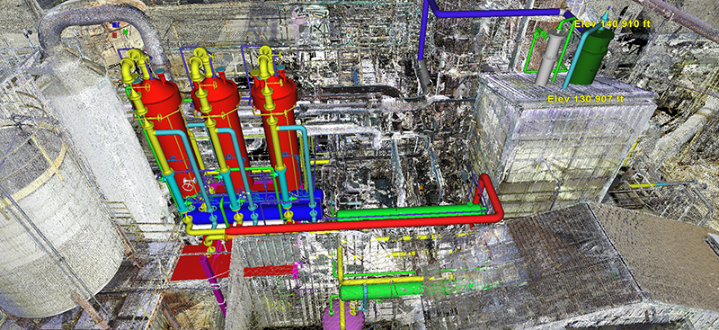
Rather, Twente suggests making hardware and software choices based on the size and scope of captures and technical specifications, along with the type or work and the corresponding data management you will need. Factor in the software that enables you and your clients to work with point clouds and create deliverables, like the Leica Cyclone point cloud processing and management software family or the range of Leica CloudWorx plugins for a variety of CAD tools and applications.
3. Teach your clients how to work with the point cloud data
Instead of exclusively offering deliverables with extracted data from point clouds, teach your clients how to work with the point clouds to ensure they understand the value of the data you’re providing.
“Initially, we were running into issues where we didn’t see many repeat clients, and that was a result of our approach. We extracted the data and provided it in the deliverable, but we held onto the point clouds,” Twente recalls. “Ultimately the problem was that the clients weren’t seeing the value because we weren’t providing them with the point cloud data.”
In early 2016, TWM modified their model by identifying clients’ software needs and learning the software well enough to pass along instruction. Rather than retaining the data, TWM delivered the point clouds to their clients and also taught them how to work with the data using readily accessible software.
“Even when the client didn’t need us for additional data on an individual project, they wanted us to scan their next projects,” Twente explains. “This new approach really sparked growth because our clients could clearly see the value in the data.”
4. Leverage your reality capture investment to attract the next generation of surveyors
TWM’s investment in reality capture hardware and software has helped them attract the next generation of survey professionals to their company.
“Workforce was one of the larger hurdles we faced early on. We underestimated the office staff that was needed for processing and extracting the data, so we started training our field crews in virtual surveying and data extraction in the office,” says Twente.
While training existing staff has helped, attracting new hires who have grown up in the 3D environment is a huge benefit when working with reality capture technologies and a key solution for addressing capacity issues.
“We’ve been able to make some key hires at TWM because of this technology,” reflects Twente. “Recent college graduates are interested in reality capture. When they have the opportunity to use these technologies with us, TWM has the upper edge to attract the right talent.”
5. Be open to opportunities and ways of working outside of traditional land surveying
Not only does investment in reality capture technology help enhance what you can do in traditional surveying contexts, it also opens up new opportunities for applications and collaborations.
“Now we have many projects outside of traditional land surveying. For example, we work with mechanical contractors doing modelling, piping design and clash detection. Things we are doing in the mechanical world are far beyond what we had anticipated. This technology has opened the door for teaming opportunities with other firms – something that was not in our initial plan,” says Twente.
TWM is also able to bring more valuable deliverables to clients, helping them visualise projects and streamline information delivery with almost all walkthroughs taking place virtually.
Twente describes the impact of this on their workflow and outcomes: “It’s phenomenal that we can set up a virtual meeting and if there are clash detection or design issues, we can work through them immediately. This brings significant cost savings to our clients because, in a 20–30-minute meeting, they can address issues before construction starts rather than identifying them in the field, where they are more time-intensive to address.”
Learn more about how to grow your business with 3D laser scanning.
Subscribe to our quarterly newsletter to receive the latest reality capture news directly to your inbox.