You can’t hold it in your hand to measure points like a smart antenna. You can’t fly it high in…

You can’t hold it in your hand to measure points like a smart antenna. You can’t fly it high in…

We’ve all heard the expression ‘a picture paints a thousand words’. It takes us back to a time when an…

High-precision GNSS positioning is vital to a broad range of applications – surveying, mapping, machine control, and autonomous systems, just…

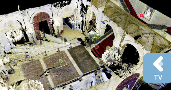
Enabled by state-of-the-art hardware and software, reality capture solutions have transformed traditional measurement workflows. 3D laser scanners like the Leica…

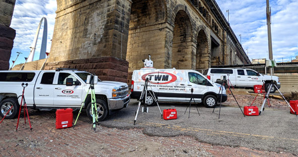
Many surveying and engineering firms invest in 3D laser scanning technologies to expand their services with rapid and comprehensive data…