



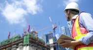


Large-scale mapping for development programs
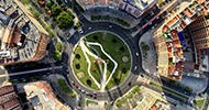
The need for maps in support of physical planning has increased undoubtedly in both developing and emerging parts of the…
The need for maps in support of physical planning has increased undoubtedly in both developing and emerging parts of the…
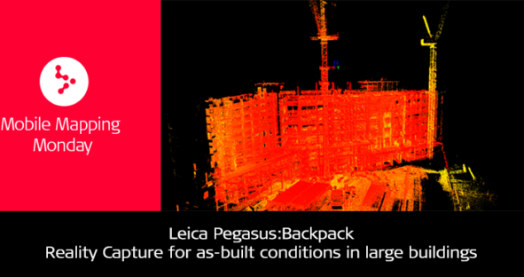
Reality Capture with the Pegasus:Backpack for as-built conditions in large buildings Wearable, rapid and mobile. These are only a few…
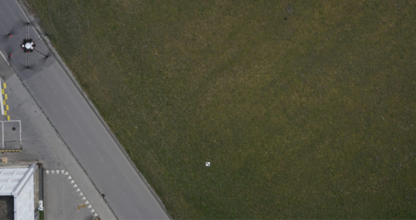
To make informed decisions based on your data, you need to trust the survey data you collect. When you capture…
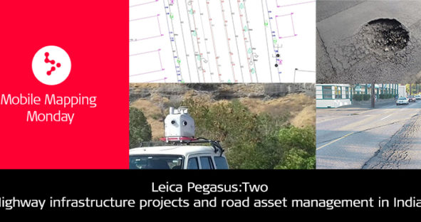
Leica Pegasus:Two – a perfect network survey vehicle for highway infrastructure projects in India In order to achieve the maximum accuracy…
Plug-and-Play Reality Capture with the Leica Pegasus:Two In December 2017, Stahl Sheaffer Engineering (SSE), a multi-discipline civil and structural engineering…