Faheem Khan, Vice President, Survey Solutions at Leica Geosystems part of Hexagon
The ongoing pandemic has forced many businesses to find new digital ways of working and adopting new tools and processes earlier than planned. To help our customers drive forwards during these challenging times, we held a virtual event – HxGN LIVE Smart Digital Transformation – to explore the opportunities that reality capture and digital twins create to work smarter and more efficiently.
Here I share the main points of my presentation from HxGN LIVE with you. Following on from a keynote by Juergen Mayer, President of our Reality Capture Division, on the role that reality capture technology plays in digital transformation, I look in detail at the four phases of reality capture. To put this article in context, I highly recommend the summary of Juergen’s talk here, Digitalisation of our physical world through reality capture technology: Part one.
Reality capture: from proof of concept to a fundamental work process
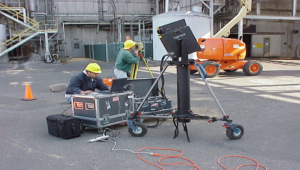
Before we look at the four phases of reality capture, I want to set the scene with where the technology started. From the perspective of acquiring data in the field, we started with a laser scanner that wasn’t the most portable but did demonstrate the value proposition of a technology that is now in use in numerous industries from public safety to building construction to surveying to heritage preservation and more. What was once a proof of concept is now a fundamental work process in many industries.
Today, productivity gains we’ve witnessed in reality capture allows organisations like CEPSA, the global energy company with integrated operations across the entire hydrocarbon value chain, to keep their digital twins constantly updated through a continuous flow of reality data using software from Hexagon PPM and reality capture data from our sensors. They are able to keep their brownfield facilities evergreen.
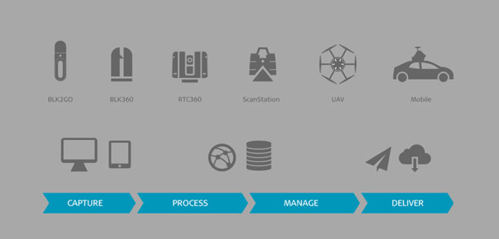
Reality capture technology is, in fact, several complementary technologies that let you view and paint the world in 3D. Whether solutions capture data from mobile, airborne or terrestrial platforms – whilst you stand, walk or drive – users leverage workflows that cover the ‘capture to complete’ spectrum. Making this process automated, simple and efficient are some of the goals of our drive for innovation. Let’s dive into those different ‘capture to complete’ phases now.
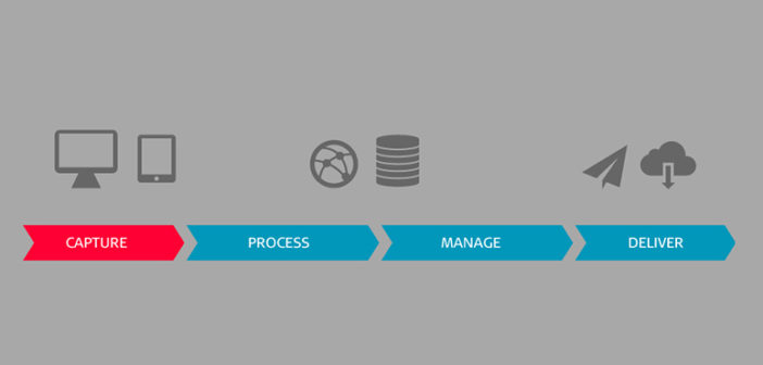
Reality capture phase one: Data capture
Naturally, data capture involves the use of sensor products. Still, in order to make the sensors shine, we’ve developed sensor-specific software solutions to support decision making at the right time and the right place. The goal is to enable you to capture and complete your deliverables in the field, eliminating the need for a trip back to the office, and letting you execute activities where and when they matter.
Leveraging technologies, such as edge computing, users can check the completeness and accuracy of captured information before leaving the site. They can add additional information and link the physical world with information systems such as facilities management or asset management platforms. To enable collaboration, users can share information straight from the field via the cloud. They can connect multiple sites and teams that may be geographically separate but working on the same single source of truth at the same time.
To enable everyone, not just domain experts, to harness the value of reality capture technology, we have invested in automating workflows in every step of the process. For example, in the case of Leica Cyclone FIELDWORX, we enable customers to produce georeferenced data within five minutes of the single push of a button. The button push triggers a scan, imports data, extracts targets, conducts pattern matching and delivers georeferenced data that can be used downstream.
Simplifying reality capture with the LGS file format
While we strive for simplicity, in reality, life is complicated. Reality capture technology users often face different file formats, standards and user experiences, which all complicate processes and reduce productivity. To solve this problem, we came up with a format called LGS. This is a single file that is published once but can be used in all of our products and all major CAD platforms. It is a format that contains rich information: not just point cloud data, but also things like the registration report, 3D model, HDR information, GeoTags, IR, metadata around projects and setups.
The LGS format enables digital interoperability across many design packages. Without import, users can access LGS files in AutoCAD, Revit, Navisworks, Bentley, BricsCAD and more. We’ve also recently introduced a number of new platforms such as SOLIDWORKS, PointFuse, Verity and Rithm that are all powered by JetStream technology and can use the LGS file or connect to enterprise products to further enhance productivity.
Reality capture phase two: Data processing
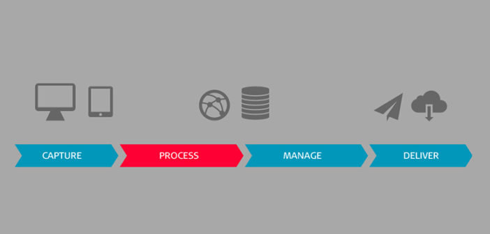
We said above that it was possible to capture and complete in the field, but for many projects, processing is a fundamental step. You may need to process to combine data from multiple teams from multiple days. You may need to process to clean and validate data. You may also need to fuse data from different sensors. This is where users turn to Leica Cyclone registration software to combine data from multiple sensors. For example, combining data from a high accuracy terrestrial platform with high productivity mobile mapping data, with data from an UAV, has captured hard-to-reach areas.
Reality capture phase three: Data centralisation
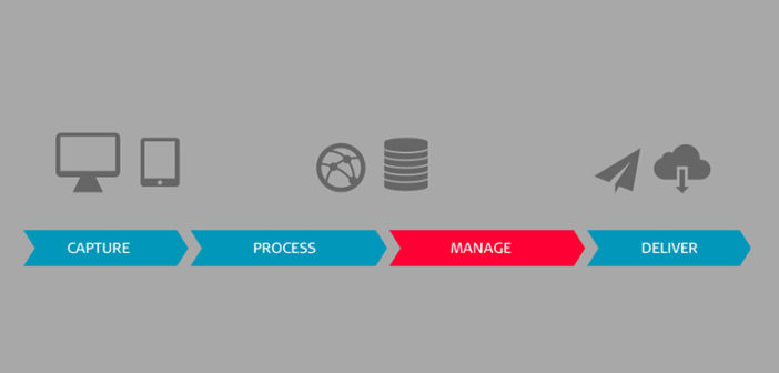
Data centralisation is an optional stage of the reality capture process. If you are working on a large project with multiple users – experts, suppliers and sub-contractors needing access to your data, you will likely need a centralised solution. In situations where different disciplines work together on a project, it is not uncommon for coordination and version control to become complicated and information to become out of date. It can be hard to keep track of any changes if essentially you are sending out files that don’t update.
What we have developed for these scenarios is a solution that centralises data. It removes the need to send physical files and enables users to connect to a central reality capture data store via a simple username and password. Users are assigned password-protected projects and the entire team works based on the central single source of truth, which is always current.
Reality capture phase four: Data completion or final deliverables
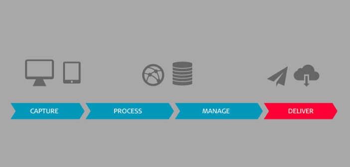
The final phase of reality capture is where users leverage domain-specific software solutions to produce the final deliverables for the project; those serving the ultimate business need. Let’s look at three examples starting with Leica TruView, a photo-realistic data product produced directly from the field. With TruView, users can take measurements, create redline, collaborate or add intelligence to the data. This intelligence can be added in the field or back in the office. Without a 3D model, users can connect asset maintenance information to assets in the real world. Our work on AI is further informing this process and reducing manual work.
Secondly, a survey solution provider may use CAD and automated workflows powered by CloudWorx to efficiently create 2D or 3D deliverables, such as floor plans, FF/FL analysis or intelligent models.
Users can also turn to applications dedicated to reality capture workflows such as Leica Cyclone 3DR to turn rich reality data into rapid deliverables such as tank inspection reports, stockpile reconciliation surveys, monitoring studies and more.
2020 was a year which changed the world. Looking ahead, as professionals in our respective fields, we are in a prime position to harness the power of digital technologies to inform our industries and assist their digital transformation. Doing less with more, eliminating guesswork and executing projects smartly and more safely can only position us for growth.


