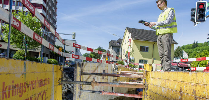
ZenoCollector brings professional-grade data to mobile handheld GIS collector
Leica Geosystems, industry leader in measurement technology, and Esri Ireland, leading provider of geographic information systems (GIS), have entered into a strategic partnership to offer easier access to critical information for better informed decision making.
Introducing the market to the ZenoCollector, the world’s first handheld combining Esri’s industry-leading Collector for ArcGIS app with the accuracy of a professional GIS handheld data collector, enables data collection and editing in a simple, user-friendly interface on an ultra-rugged device running Android.
“Location-based analytics depend upon accurate and reliable data, and more of our customers are demanding better location information to support their enterprise decision support processes,” said Paul Synnott, country manager at Esri Ireland. “The partnership with Leica Geosystems, and in particular their ZenoCollector, enables us to respond effectively to these demands. It further enhances the value of our customers investment in ArcGIS by addressing data quality at the source.”
More than GPS
Many enterprises have particular field data collection challenges that smartphones can’t ideally meet. The ZenoCollector contains a professional-grade Global Navigation Satellite System (GNSS) receiver. This provides significantly higher position accuracies than GPS receivers on smart phones and other handheld GIS devices on the market. Combining Collector for ArcGIS with Leica Geosystems’ industry-standard surveying units creates a more rugged and accurate solution for the more refined needs of organisations.
“Increasingly, GIS users require more than a consumer smartphone or tablet can offer, such as ergonomic benefits that come with a professional survey data capture device, accuracy, integrated workflows and flexibility,” said John Kerrigan, Ireland country manager, Leica Geosystems. ”Working closely with Esri, we can now deliver high-grade mobile solutions for users across a wide array of applications.”
Access for all
Esri’s ArcGIS Online platform connects ZenoCollector to the cloud, automatically synching field changes to enterprise information and giving everyone access to the latest data gathered in the field. Collector for ArcGIS also supports offline data collection. Any updates are synchronized with the map once the user is reconnected. With this, Leica Geosystems can better facilitate and support the users’ desire to collect GIS data with surveying instruments while having a direct interface between the field and the customer’s enterprise spatial database.
“Together we are making it easier and more cost effective for field workers to capture, manage and use GIS services to improve productivity and better manage assets,” said Synnott. “We have the opportunity to transform the way in which assets are managed and maintained to the benefit of the users and their customers.”
This joint collaboration between Leica Geosystems and Esri Ireland represents a commitment to simplify the jobs for surveyors, GIS professionals and general location specialists to capture, manage, and share their data, without sacrificing precision or interoperability, regardless of whether they are in the office or the field.
“We are very pleased to announce this strategic partnership, as it strengthens the ability of Leica Geosystems and Esri users in Ireland to enhance their productivity with a direct field-to-office workflow,” said Kerrigan.


