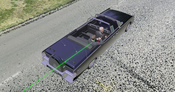
Knott Laboratory is a multidisciplinary team of engineers, accident reconstructionists, and animators who provide Forensic Engineering and Visualisation Services. Its…

Knott Laboratory is a multidisciplinary team of engineers, accident reconstructionists, and animators who provide Forensic Engineering and Visualisation Services. Its…

The railway is our passage to destinations near and far, connecting people, places and goods. Bolting through urban cities, lush…
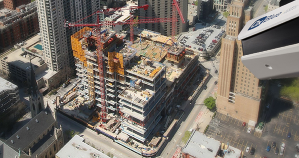
How AI-powered construction progress documentation and real-time site control benefit construction New advancements in video capture technology using AI and…
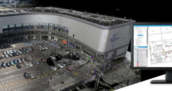
A digital twin is a digital representation of a physical object or system. Their business applications are found in several…
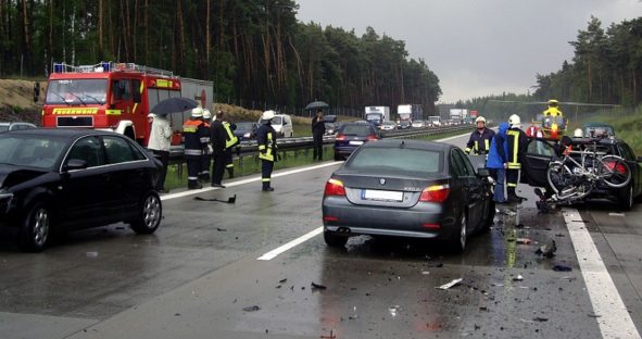
Whether you prefer photogrammetry, the geolocation approach or 3D laser scanning in your crash or collision documentation, Leica Geosystems offers…